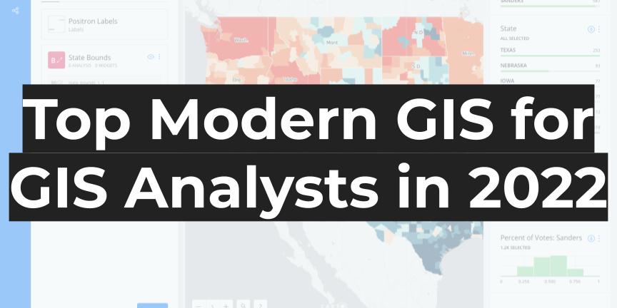
GIS Analysts serve the incredibly important purpose of providing detailed analysis and flexible results working with a wide range of data and tools. Not only do GIS Analysts work with many different stakeholder groups, but they also have to maintain a flexible workflow and use a wide range of data, delivering easy to use and […]
What is Modern GIS?
The GIS we use and practice today is fundamentally different from the GIS we used previously. In the past, I have written about the need to define geospatial as a practice, and yet again I think it is time to define another term in our space. Modern GIS is something that is starting to take […]
PostGIS and QGIS in 4 minutes
QGIS provides an excellent interface to get started with PostGIS, and (if you are a Mac user) you can start with PostGIS using Postgres.app very fast! Check out the video and follow along using this guide. Download and install Postgres.app First, head over to this site to download and install Postgres.app. This is a complete […]
Geospatial can’t solve the current supply chain crunch – but it can help make it more resilient going forward
Around the world, the current supply chain disruptions and backlog are being felt by companies and consumers alike across a wide range of products and categories. This article from the Washington Post shows the view of the Port of Los Angeles and the developing backlog of ships from satellite imagery. As a result, people working […]
Geospatial needs to be defined
If you know, you know. That is a very short way of saying that “geospatial” lacks definition. In the past few years, and more so recently, I have seen more and more people who state that they work “in geospatial” or are “doing geospatial”, alongside a rise in many different job titles that have the […]