TOP OF THE STACK Recently I have talked about Airflow, and I have talked about Agentic AI, but not the two together. Well with the release of the Airflow AI SDK from Astronomer you can now do both, together. Check out this video from The Data Guy (aka George Yates) about this functionality. Take a look and let me know […]
Breaking the GIS Silo: Why GeoParquet and Iceberg are the key to Spatial Analytics at Scale
For decades, GIS has lived in a world of its own. Specialized software. Obscure formats. A profession that, despite being critical to everything from climate modeling to logistics, has remained siloed from the rest of the data world. But that’s finally starting to change. In the latest episode of the Spatial Stack podcast, I sat […]
How to Build a Cloud-Native Spatial Data Lakehouse
Most spatial workflows today are still running on a foundation of folders, flat files, and fragile scripts. You’ve probably worked with shapefiles stored in six different places, Python notebooks that quietly break when a column changes, and a dozen versions of the same dataset ending in _final_v2_edit.shp. I’ve been there. But spatial data has changed. […]
How Cloud Storage Powers Cloud-Native Geospatial, AI, and Analytics
Look we can throw around a lot of terms about cloud-native and how geospatial is moving to the cloud, but none of this happens if it isn’t for cloud storage. Yes, this post is going to talk about storage. It’s one of the fundamentally more vanilla topics when discussion the cloud. When you boil it […]
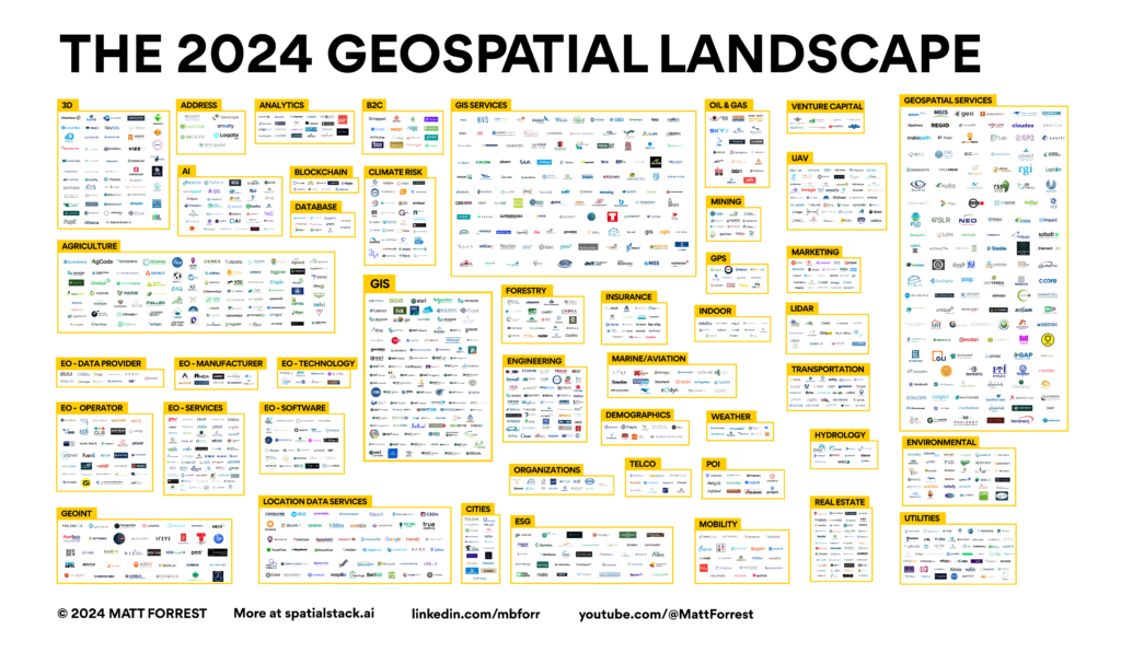
Get Featured in the 2025 Geospatial Landscape Report (Submit Your Company Today)
The geospatial industry is evolving faster than ever: from AI-powered analytics to cloud-native infrastructures reshaping how we work with spatial data. That’s why I am excited to announce that the 2025 Geospatial Landscape is on the horizon. The response to this piece last year was amazing and I am excited to start work on the […]


