Most spatial workflows today are still running on a foundation of folders, flat files, and fragile scripts. You’ve probably worked with shapefiles stored in six different places, Python notebooks that quietly break when a column changes, and a dozen versions of the same dataset ending in _final_v2_edit.shp. I’ve been there. But spatial data has changed. […]
How Cloud Storage Powers Cloud-Native Geospatial, AI, and Analytics
Look we can throw around a lot of terms about cloud-native and how geospatial is moving to the cloud, but none of this happens if it isn’t for cloud storage. Yes, this post is going to talk about storage. It’s one of the fundamentally more vanilla topics when discussion the cloud. When you boil it […]
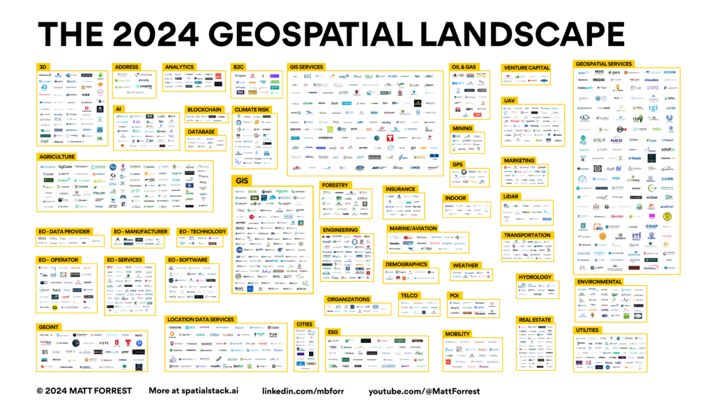
Get Featured in the 2025 Geospatial Landscape Report (Submit Your Company Today)
The geospatial industry is evolving faster than ever: from AI-powered analytics to cloud-native infrastructures reshaping how we work with spatial data. That’s why I am excited to announce that the 2025 Geospatial Landscape is on the horizon. The response to this piece last year was amazing and I am excited to start work on the […]
Scaling GIS Workflows with COGs, Airflow, and Apache Iceberg
TOP OF THE STACK What we need to do with COGs COGs (Cloud-Optimized GeoTIFFs) are one of the most promising tools we have for making raster data truly cloud-native. They let you stream just the pieces you need, work remotely, and plug into modern geospatial systems without downloading giant files. But after working closely with […]
From Desktop GIS to Cloud: A Beginner’s Roadmap to Modern GIS Tool
Modern GIS is changing fast. If you’ve been working with QGIS, ArcGIS, or any other desktop GIS tool, you’ve probably hit some limitations—datasets getting too big, processing times slowing down, and collaboration becoming a challenge. The good news? The cloud offers a way forward. But how do you make that transition? How do you go […]


