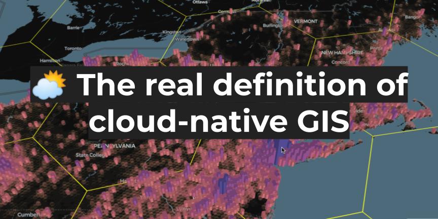
For decades, GIS has lived in a world of its own. Specialized software. Obscure formats. A profession that, despite being critical to everything from climate modeling to logistics, has remained siloed from the rest of the data world. But that’s finally starting to change. In the latest episode of the Spatial Stack podcast, I sat […]
From Desktop GIS to Cloud: A Beginner’s Roadmap to Modern GIS Tool
Modern GIS is changing fast. If you’ve been working with QGIS, ArcGIS, or any other desktop GIS tool, you’ve probably hit some limitations—datasets getting too big, processing times slowing down, and collaboration becoming a challenge. The good news? The cloud offers a way forward. But how do you make that transition? How do you go […]
Load geospatial data to Redshift, BigQuery, Snowflake, and PostGIS: The complete guide
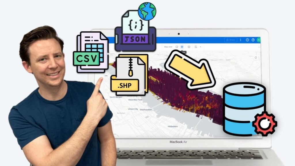
Getting started with spatial SQL will always require one key step where many hit a roadblock – importing data into your spatial database. In a traditional GIS setting, this is as simple as dragging or dropping a file or simply clicking to load it. For databases and data warehouses, this requires a few more steps […]
Building your spatial SQL toolkit
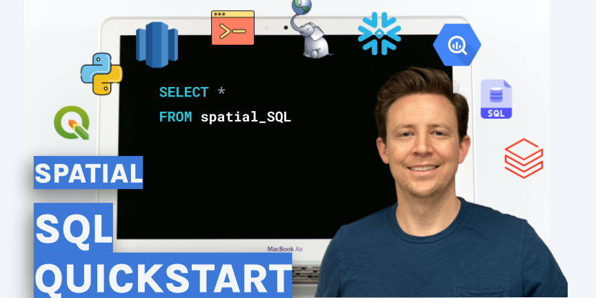
There are a ton of different ways to work with spatial SQL, but there are three different elements of every spatial SQL setup: The Spatial SQL Book – Available now! Check out my new book on Spatial SQL with 500+ pages to help you go from SQL novice to spatial SQL pro. This video will […]
Cloud-native GIS – what is the actual definition?
Lately, I have been discussing the concept of modern GIS, and while it doesn’t require the cloud to run (in fact a core principle is that it can be run locally or in the cloud) it does allow you to easily move to the cloud when ready. With that said not all things in the […]

