Modern GIS is changing fast. If you’ve been working with QGIS, ArcGIS, or any other desktop GIS tool, you’ve probably hit some limitations—datasets getting too big, processing times slowing down, and collaboration becoming a challenge. The good news? The cloud offers a way forward. But how do you make that transition? How do you go […]
The 37 Geospatial Python Packages You Definitely Need
When performing geospatial analysis, the right set of tools can be the difference between surface-level insights and deep, actionable intelligence. Fortunately, amazing geospatial Python packages help to bridge this gap. Python, renowned for its versatility and robustness, offers a wide range of packages that can not only help you scale your spatial analysis, but reach […]
Stop Using Zip Codes for Geospatial Analysis
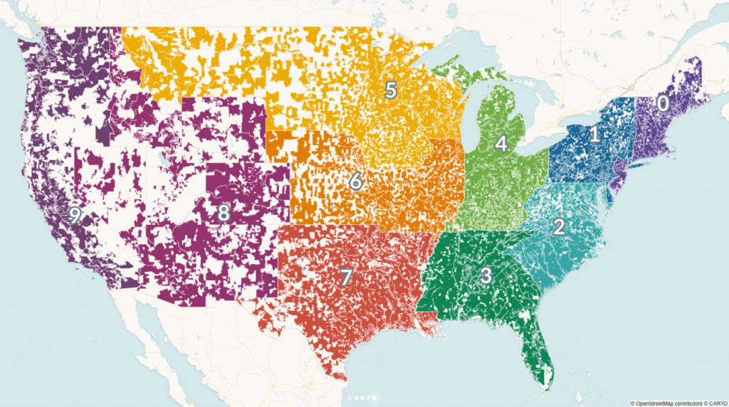
Originally published on CARTO and Towards Data Science in August 2019 The last time you used your zip code, you were most likely entering your address into a website to make a purchase, finding a store near your home or office, or filling out some other online form. You likely found the answer you were […]


