Storage and formats are the foundation. Pipelines make them practical. But storage and processing architectures determine what’s actually possible at scale. We’ve talked about cloud storage enabling modern geospatial workflows and the formats that make data queryable. We’ve covered the pipelines that get your data into those formats. But there’s a bigger architectural question that […]
The Modern Geospatial Data Stack: Trends, Tools, and What They Mean for You
The geospatial technology landscape is changing fast. What used to be a world of shapefiles, desktop software, and siloed workflows is now becoming cloud-native, AI-driven, and analytics-focused. This shift isn’t just technical—it’s reshaping how geospatial professionals build, analyze, and share data. In this post, I’ll break down the key trends shaping the modern geospatial data […]
Why your spatial pipelines are probably broken (And how Airflow can help)
In the world of spatial data, building pipelines often feels like duct-taping together cron jobs, brittle scripts, and whatever cloud service happens to be in reach. Whether you’re transforming geospatial imagery, generating features for machine learning, or managing time-sensitive datasets like weather and river gauges chances are, your pipelines could use an upgrade. In the […]
Geospatial Data Pipeline Management: Modern approaches vs traditional methods
Having the right formats is one thing. Getting your data into those formats reliably, at scale, and on schedule is another thing entirely. You can read all you want about GeoParquet and Zarr and COG, but if you can’t create a repeatable process to convert your legacy shapefiles to GeoParquet or your NetCDF files to […]
Esri vs Open Source GIS: The Real Debate Behind the Tools
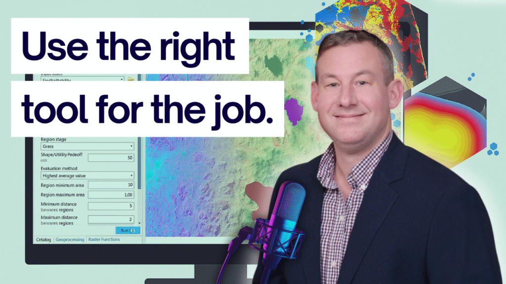
It started the way most online debates do: with a LinkedIn post and a strong opinion. I’d shared a graphic about modern GIS tools, highlighting open-source workflows and cloud-based options I believe help push the industry forward. Kyle Satterfield, GISP, had a different take. He took my graphic, dropped it into ChatGPT, and asked it […]


