
Why Cloud-Native Geospatial Is the Future of GIS (And What Comes Next)
For decades, working in GIS meant downloading massive datasets, struggling with storage limits, and figuring out how to make sense of it all locally. I remember those early days clearly—each download felt like a commitment, and each analysis came with its own compromise. We got used to it. But looking back, that entire process feels a bit absurd.
Jed Sundwall from Radiant Earth joined me recently to talk about how that outdated model is finally being dismantled. And more importantly, what’s being built in its place.
A Decade in the Making
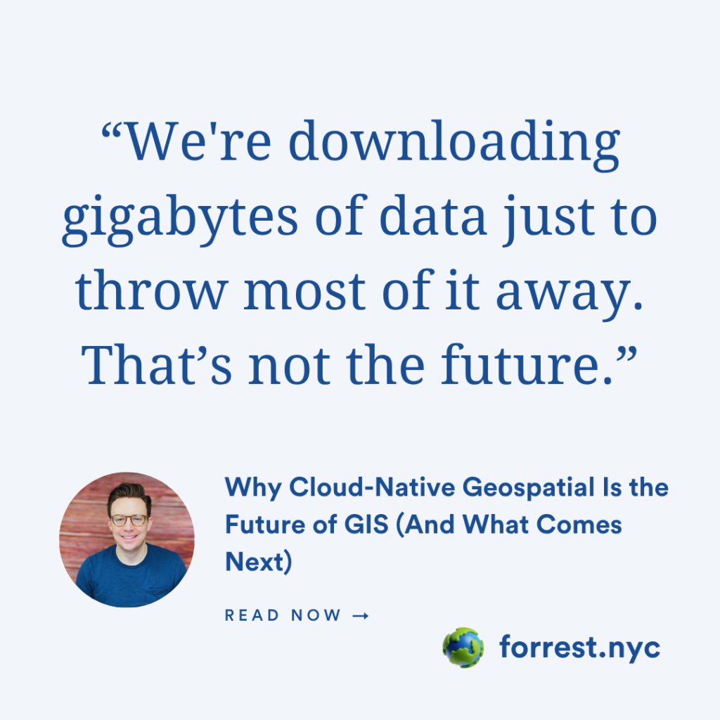
You might be surprised to learn that the roots of cloud-native geospatial go back more than ten years. Jed was part of the team that helped bring Landsat data to AWS—a move that seemed radical at the time. They asked a simple question: how much of this data are people actually using? The answer? Less than half.
So they rebuilt the pipeline. TIFFs were hosted directly. Tiling was introduced. And a format that started out as a behind-the-scenes technical fix became what we now know as the Cloud-Optimized GeoTIFF (COG).
It was a shift in mindset—from downloading data to streaming just what you need. That mindset powers much of what we now consider “cloud-native.”
But It’s Not Just About the Cloud
Jed made a subtle but powerful point: this movement isn’t really about the cloud. It’s about making spatial data easier to access and use.
That nuance matters. Because while “cloud” can feel intimidating or out of reach for some, nearly everyone in GIS is struggling with the same core problems: scale, access, interoperability, and complexity.
The Cloud Native Geospatial (CNG) Forum is Radiant Earth’s response to that. It’s a community-first effort to bring people together—developers, practitioners, executives, and even those brand new to spatial—to have the real conversations about what works and what doesn’t.
Why This Matters Now
We’re finally reaching a place where the storage layer of the cloud-native stack is mature. But that just raises a bigger question: what does the compute layer look like? It’s one thing to store GeoParquet or serve COGs, but what happens when we need to analyze that data at scale, build models on top of it, or feed it into real-time applications?
These are the kinds of questions the CNG Forum is asking and inviting others to help answer. The upcoming in-person event in Utah is set to bring together everyone from marine scientists to journalists to government agencies. It’s not just another conference. It’s a chance to shape the next 10 years of geospatial infrastructure.
Growing the Community on Purpose
One thing that resonated deeply was Jed’s hope that this isn’t just a conference for the insiders. Yes, there will be deep technical discussions. Yes, people will be writing code. But it’s also about expanding the circle—welcoming those who are new, curious, or trying to transition into a more modern spatial stack. We all benefit when more people can contribute to the future of geospatial.
Final Thought
I’ve been lucky to work closely with many of the people behind this movement: through the editorial board of the CNG Forum, and just by being in this space as it’s evolved. I’ve seen firsthand how much energy and care goes into this work.
If you’ve ever asked yourself “where do I even begin with cloud-native geospatial?”—this is the place. And this is the moment.