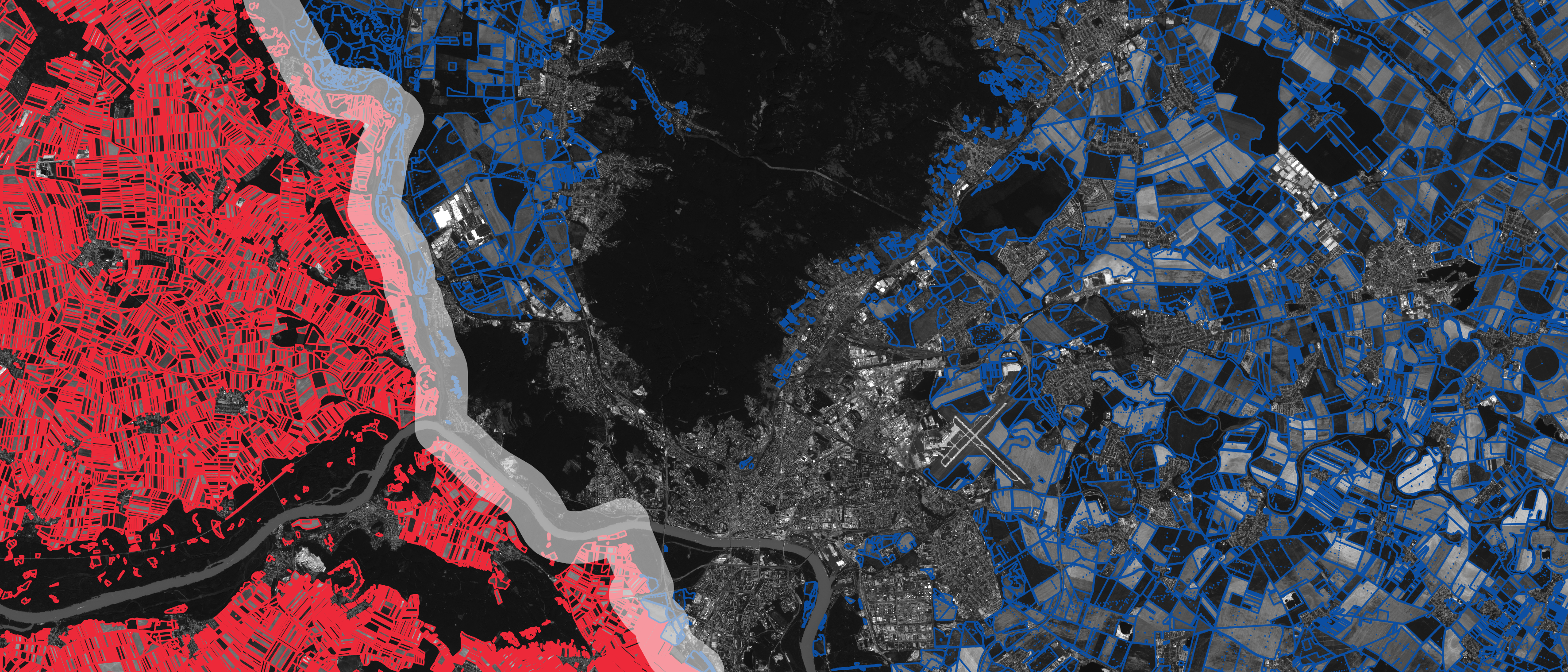
In the dynamic field of geospatial technology, the evolution of data formats plays a pivotal role in shaping how we interact with and interpret spatial information. The advent of GeoParquet has marked a significant milestone, offering a more efficient and accessible way to handle large spatial datasets. This blog post delves into a comprehensive exploration … Continue reading The Top 11 Open GeoParquet Datasets: Making big geospatial data easy
PostGIS and GeoPandas in Jupyter in 4 minutes
Take advantage of the speed of PostGIS along with the flexibility of Geopandas and Python in 4 minutes! Take a look at the video and follow along with these steps! The Spatial SQL Book – Available now! Check out my new book on Spatial SQL with 500+ pages to help you go from SQL novice … Continue reading PostGIS and GeoPandas in Jupyter in 4 minutes
Related posts
Mastering Spatial SQL: The Ultimate Guide to Tools & Databases in 2024
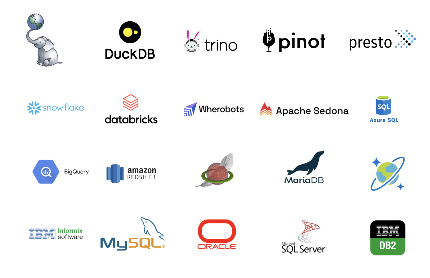
The Evolving Landscape of Spatial SQL In today’s technologically driven world, the use of spatial SQL in databases and data warehouses has become increasingly significant. This growth not only enriches the database management landscape but also simplifies the learning curve for professionals, allowing them to apply their expertise across various tools. This blog post delves … Continue reading Mastering Spatial SQL: The Ultimate Guide to Tools & Databases in 2024
The 37 Geospatial Python Packages You Definitely Need
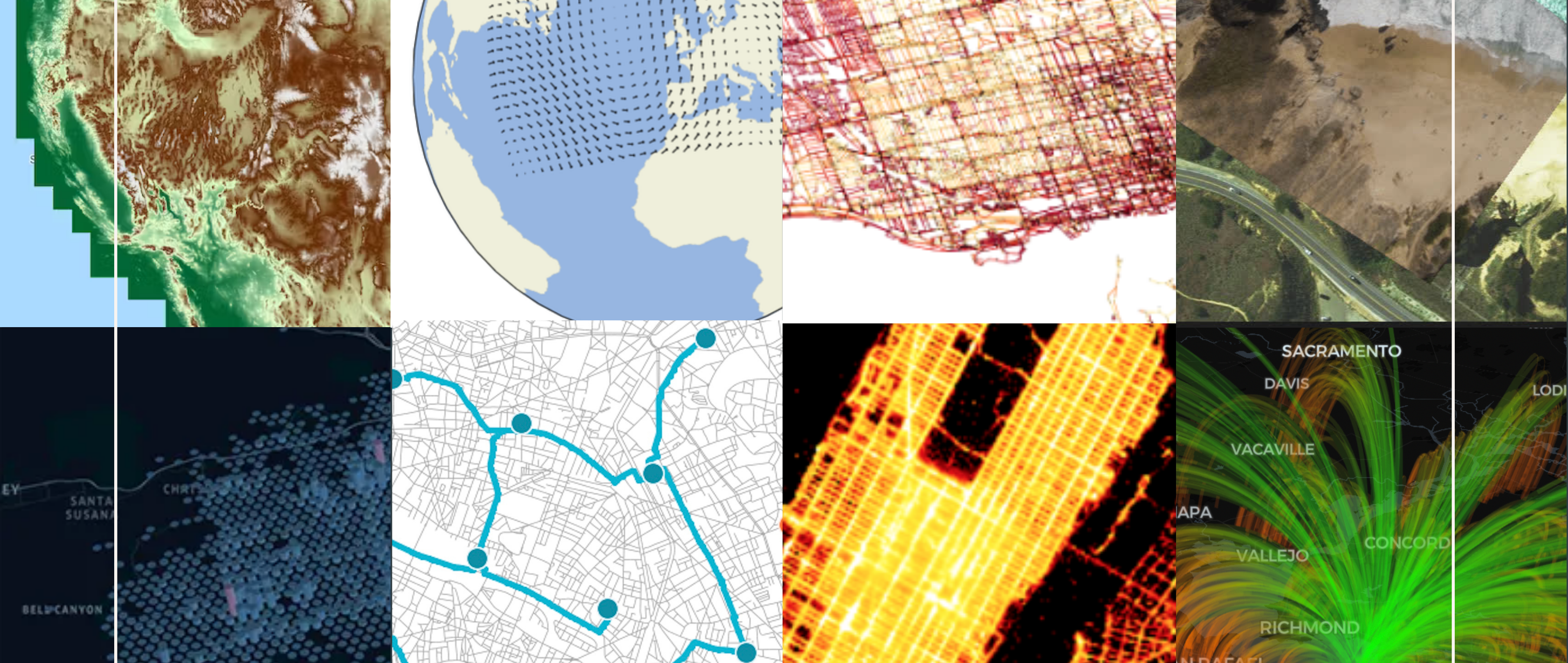
When performing geospatial analysis, the right set of tools can be the difference between surface-level insights and deep, actionable intelligence. Fortunately, amazing geospatial Python packages help to bridge this gap. Python, renowned for its versatility and robustness, offers a wide range of packages that can not only help you scale your spatial analysis, but reach … Continue reading The 37 Geospatial Python Packages You Definitely Need


