Mastering Spatial SQL: The Ultimate Guide to Tools & Databases in 2024
The Evolving Landscape of Spatial SQL
In today’s technologically driven world, the use of spatial SQL in databases and data warehouses has become increasingly significant. This growth not only enriches the database management landscape but also simplifies the learning curve for professionals, allowing them to apply their expertise across various tools. This blog post delves into the current suite of systems that support spatial SQL, highlighting their unique features and capabilities.
Relational Databases: The Backbone of Data Management
Relational databases remain the cornerstone of database management, primarily used for handling transactions – storing, creating, updating, and deleting data records. Their significance extends to geospatial analytics, often leading organizations to maintain separate analytical databases for more efficient data handling.
The Spatial SQL Book – Available now!
Check out my new book on Spatial SQL with 500+ pages to help you go from SQL novice to spatial SQL pro.
PostGIS: The Leader in Spatial SQL
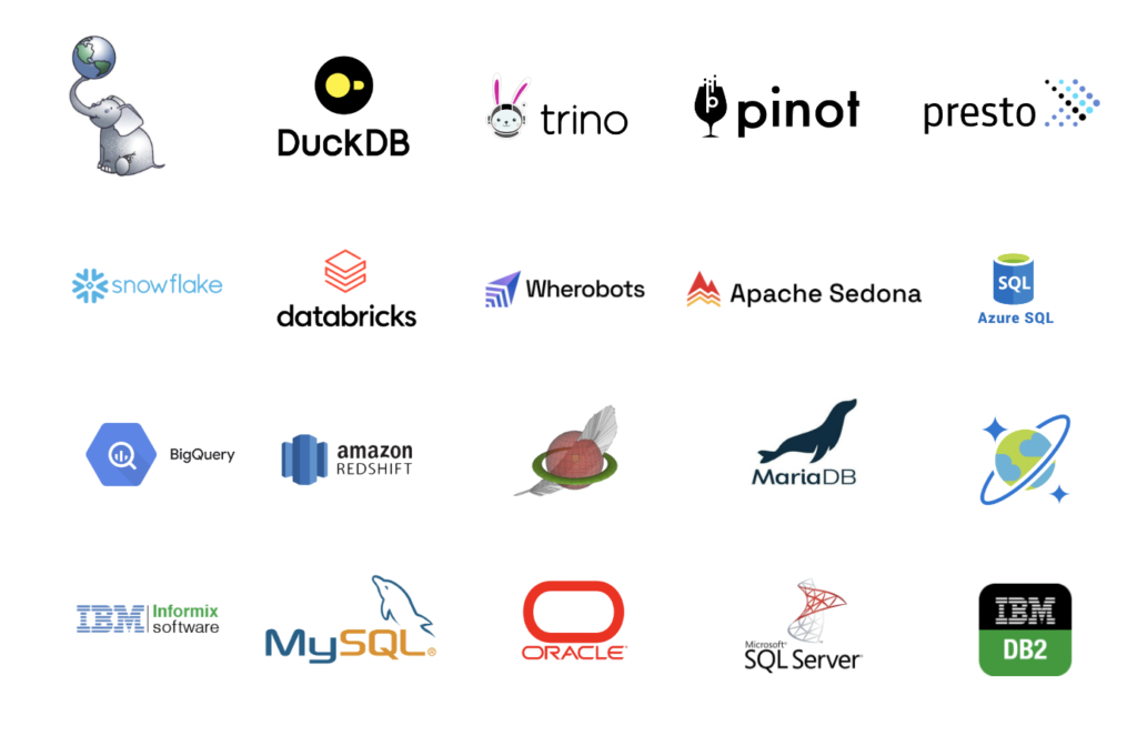
PostGIS stands out as the most prominent tool for spatial SQL. This open-source extension of PostgreSQL is renowned for its ease of installation and a vast array of spatial functions. It supports diverse data types, including 2D and 3D vector data, raster data, and comes with additional extensions like pgRouting, mobilitydb, postgis_tiger_geocoder, and pgpointcloud. Its popularity is evident from over 100 million pulls on Docker Hub as of December 2022.
Despite its comprehensive offerings, PostGIS does face limitations regarding data size and query time for exceptionally large datasets. However, these can typically be managed through various methods and spatial indexes. Its larger installation size and the requirement for user-managed deployment, updates, and security can be a trade-off for its extensive functionalities.
SpatiaLite: Compact and Efficient
For smaller, lightweight requirements, SpatiaLite – the spatial extension of SQLite – is an ideal choice. It offers a range of spatial functions in a compact format, making it perfect for individual use. Deployed in every Android and iPhone, SQLite boasts being the most widely used database engine globally. However, SpatiaLite may not be the best fit for scenarios requiring support for multiple concurrent accesses.
MySQL: A Common Yet Robust Choice
MySQL, comparable to PostgreSQL, is another popular relational database. Despite being open source, it is maintained by Oracle, and its simpler relational nature contrasts with PostgreSQL’s object-relational capabilities. Although not primarily known for geospatial use cases, MySQL’s inclusion of spatial SQL functionalities allows leveraging spatial data within its widespread database systems.
Enterprise Spatial Databases
Several commercial databases support spatial data, including Oracle Database, Microsoft SQL Server, Informix Spatial DataBlade, and IBM Db2. These proprietary systems, some of which are pioneers in spatial databases, offer extensive spatial functionalities but generally require a full license for complete access.
The Rise of Data Warehouses
Data warehouses, especially cloud-based ones, have seen a surge in adoption due to the exponential increase in data production. Distinct from traditional databases, they separate compute resources from storage and are primarily analytics-oriented. This separation allows efficient data storage in data lakes and more powerful, parallelized data querying. AWS Redshift, GCP BigQuery, and Snowflake are notable examples in this category, offering native support for geometry data types and built-in spatial functionalities.
Spark-Based Systems: The Forefront of Big Data Processing
In big data processing, Apache Spark has emerged as a leading platform. It outperforms its predecessors like Apache Hadoop in processing speed and offers a more user-friendly API. Spark’s SQL toolkit, Spark SQL, enables efficient data querying, although it doesn’t natively support geospatial data. Tools like Apache Sedona (formerly GeoSpark) and GeoMesa extend Spark’s capabilities to include spatial data support, offering a robust platform for geospatial analytics.
DuckDB: A Rising Star in Spatial Analytics
DuckDB has recently added geospatial support, making it an increasingly attractive option for spatial analytics. This no-dependency, OLAP database can operate directly from a computer, utilizing built-in processing power and offering vectorized query execution for enhanced performance. It allows querying data directly from files or cloud storage, and its simplicity and portability are set to make it a popular choice for spatial analytics.
Apache Pinot: Realtime Analytics on a New Scale
Apache Pinot, launched in 2019, stands out for supporting realtime analytics with both static data and data event streams. Used by major companies like LinkedIn and Uber, it excels in providing end-user analytics in real-time, offering a new dimension to spatial SQL applications.
Distributed Query Engines: Presto and Trino
Presto and Trino, the prominent distributed query engines, leverage massively parallel processing for efficient data querying across various sources. They support a wide range of spatial SQL queries and are evolving to be key players in large-scale geospatial analysis.
This selection of geospatial Python packages helps you find the tools needed to master the complexities of geospatial data and emerge with a deeper understanding of how to manipulate, analyze, and visualize the spatial dimension of your datasets.
The Future of Spatial SQL: Trends and Developments
The field of spatial SQL is rapidly evolving, with new tools and functionalities emerging regularly. The integration of spatial capabilities in widely used databases like MySQL, and the development of specialized tools like PostGIS and Apache Sedona, reflect the growing importance of geospatial data in various sectors. The rise of cloud data warehouses like AWS Redshift and GCP BigQuery, which support spatial data types and functions, indicates a trend towards more scalable, cloud-based geospatial analytics.
Furthermore, the advancements in big data processing with tools like Apache Spark and its extensions point towards a future where handling massive volumes of geospatial data efficiently becomes more accessible. The incorporation of real-time analytics in tools like Apache Pinot opens up new possibilities for dynamic geospatial applications.
Conclusion
The landscape of tools supporting spatial SQL is diverse and rich, offering solutions for various needs ranging from lightweight, single-user databases to large-scale, distributed processing systems. The continuous development in this field signifies an exciting future for spatial data analysis and management.
As this field grows, staying informed about these tools and their capabilities becomes crucial for anyone working with geospatial data. Whether you’re a database administrator, data scientist, or GIS professional, understanding the nuances and strengths of each tool can greatly enhance your ability to manage and analyze spatial data effectively.