
How Open Source BI Is Transforming Geospatial Analytics: Lessons from Superset and Preset
If you work in GIS long enough, you eventually discover a major tension in the field. Most geospatial tools evolved in their own universe, built around desktop workflows and specialized formats. At the same time, the modern data stack has exploded, bringing enormous advances in cloud computing, real-time processing, SQL analytics, and open source engineering.
For years, these two worlds barely spoke to each other. But that gap is closing fast, thanks in large part to open source projects like Apache Superset and companies like Preset, which are bringing geospatial data directly into the center of the modern data ecosystem.
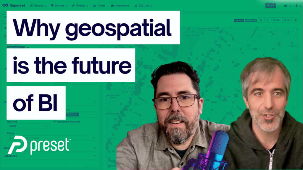
I sat down with Maxime Beauchemin, creator of Apache Superset and Apache Airflow, and Evan Racis, Apache Superset PMC member and developer advocate, to explore how the BI and analytics world is reshaping the future of spatial. Their journey reveals why geospatial belongs inside modern BI, how open source accelerates innovation, and what this shift means for GIS professionals.
From Hackathon Project to Global BI Platform
Superset didn’t begin as an ambitious attempt to reinvent business intelligence. It began because Airbnb, in 2015, simply couldn’t use existing BI tools with the modern databases it relied on. Presto, Hive, and Apache Druid were becoming core infrastructure, but tools like Tableau couldn’t connect to them with the fidelity the company needed.
So Max built a lightweight, SQL-generating exploration tool during a three-day internal hackathon. That experiment quickly became the foundation of Superset.
What happened next shows the power of open source. Engineers across Airbnb began using, extending, and improving the tool. The community grew far beyond Airbnb. Superset picked up dashboards, a SQL IDE, and the ability to work with virtually any SQL-speaking database.
Today Superset is one of the most widely adopted open source BI tools in the world. But the geospatial story within it is even more interesting.
Why Geospatial Became Central to BI
When Max moved to Lyft, geospatial became unavoidable. Routing, ETA prediction, marketplace balancing, driver movement, and real-time logistics all depend on spatial data. At the same time, WebGL-based libraries like Deck.gl and platforms like Kepler.gl were emerging from the engineering teams at Uber.
For the first time, it was possible to create web-based spatial visualizations with serious performance and interactivity. Max saw the opportunity immediately. Superset needed first-class geospatial support if it was going to serve modern data teams.
The result: Superset introduced robust geospatial visualization support built directly on Deck.gl. This opened the door to:
- Point, polygon, and H3-based visualizations
- Real-time fleet or sensor updates
- Spatial aggregation and styling
- Multi-layered map dashboards fully driven by SQL
And importantly, geospatial became treated as a core analytical dimension, just like time or categorical attributes. Geography wasn’t an afterthought. It was recognized as a vital way businesses interpret and act on data.
This shift changed everything.
The Open Source Advantage for Spatial Data
There is a reason Superset has grown faster than closed-source BI tools: open source creates network effects that proprietary software cannot match.
Here’s what Max and Evan shared about why open source wins:
1. Diverse Use Cases Drive Better Capabilities
Hundreds of organizations use Superset differently. Some embed it internally. Some run it in real time. Some run massive clusters beneath it. Some need strict RBAC, others need tight security controls.
Every improvement contributed for one use case becomes available to everyone else.
2. No Vendor Lock-In
BI vendors historically created barriers to democratizing data. License limits, per-user pricing, and restrictive deployment models made scaling difficult.
Superset eliminates that entirely. Organizations can run it locally, in the cloud, or through Preset, and move between them freely.
3. Speed of Innovation
Open source moves faster. Community members contribute new features, fix issues, and integrate with new databases or libraries more quickly than any closed team can.
4. Interoperability with Modern Data Tools
Superset works naturally with:
- Cloud data warehouses
- SQL engines
- Streaming platforms
- Data transformation tools like Airflow and dbt
- Visualization libraries like Deck.gl and ECharts
This is exactly where geospatial needs to live if it wants to be part of enterprise-scale analytics.
Geometry as Just Another Data Type
One of the big themes in the conversation was the idea that spatial data is not a special case. It is a data type. And treating it that way unlocks huge benefits.
Historically, GIS tools isolated spatial formats behind proprietary systems and complex workflows. But in the modern data stack, geometry lives alongside time series, arrays, text, or metrics — all inside the same databases.
This shift gives spatial data:
- Stronger governance
- Better sharing across teams
- Real-time access
- SQL-based transformations
- Cloud-scaled processing
And for Superset, the rule is simple: if you can express it in SQL and return a valid geometry or GeoJSON, Superset can visualize it. The burden of spatial computation moves to the database, where it belongs.
This is exactly where tools like PostGIS, BigQuery GIS, DuckDB’s spatial extension, and Apache Sedona shine.
Why Geospatial Must Join the Modern Data Stack
The future of spatial is not siloed desktop workflows. It is interoperable, cloud-native, SQL-driven analytics that blend spatial and non-spatial features seamlessly.
Here’s why this matters.
1. Scaling Beyond Your Laptop
Traditional GIS tools are tightly bound to local compute. You can only process as much data as your machine can handle.
Modern data systems rely on cloud clusters and distributed engines. This allows analysis at a scale unimaginable with desktop tools.
2. Putting Maps Where Stakeholders Already Work
A geospatial dashboard has far more value when it lives next to financial KPIs, operational metrics, or user behavior analytics. Stakeholders shouldn’t need a separate GIS tool to understand location-based insights.
3. Better Automation and Data Quality
Tools like Airflow and dbt provide repeatability, CI/CD, data testing, and automated pipelines. Spatial data becomes part of larger workflows rather than manual one-off processes.
4. Alerts, Reporting, and Cross-Filtering
Superset enables location-aware reporting, threshold alerts, and multi-chart interactions. A user can click a region on a map and watch every metric on the dashboard update automatically.
This is the kind of experience enterprises expect — and geospatial can now deliver.
How GIS Professionals Can Start Using Superset
Superset and Preset make it easy to start experimenting with spatial BI.
Option 1: Run Superset Locally with Docker
This is ideal for GIS professionals who want to learn by doing.
A simple docker-compose up spins up a full environment. Built-in geospatial demo dashboards help you explore Deck.gl layers and SQL-driven maps.
Option 2: Use the Free Tier of Preset
Preset offers a fully hosted version of Superset with a generous free tier.
You can:
- Upload CSVs
- Connect to databases
- Create dashboards
- Share them with your team
- Move seamlessly between Preset and open source Superset
This flexibility is rare in the geospatial world and a major advantage for modern analytics teams.
Practical Outcomes for Geospatial Teams
GIS and data teams can apply Superset today to create real impact:
Build dashboards that combine spatial and tabular insights
For example, block-level walkability scores can be visualized spatially while ranking cities or neighborhoods in accompanying charts.
Run real-time or high-frequency spatial monitoring
Use Airflow to ingest sensor feeds, store them in Iceberg or PostGIS, and visualize them in Superset automatically.
Enable non-GIS colleagues to interact with spatial data
Stakeholders can filter, drill down, and understand geospatial patterns without specialized software.
Integrate spatial analytics into broader organizational workflows
Alerts, reporting, and cross-filtering make spatial insights part of everyday decision-making.
Modern GIS is not a separate ecosystem. It is part of the data ecosystem.
The Road Ahead
Max and Evan hinted at an exciting future. Superset is evolving toward a more modular, VS Code-like extension system where entire front-end and back-end components can be hot-loaded as plugins. This will make geospatial even more flexible, customizable, and scalable.
Open source BI is rapidly becoming the center of modern analytics. The more the geospatial community participates, the faster we move toward a world where spatial intelligence is native to every data workflow.
If you want to start integrating geospatial data into the modern stack, Superset and Preset are two of the best tools to explore first. And if you want guidance on building spatial pipelines, SQL workflows, or cloud-native architectures, I cover these topics extensively inside Spatial Lab and across my Modern GIS platforms.
The future of geospatial analytics is open, interoperable, and deeply connected to the broader data world. And that future is already taking shape.