• Posts
  • Spatial Lab
  • Modern GIS Accelerator
  • The Spatial SQL Book

Get the newsletter

Join 71,000+ geospatial experts growing their skills and careers. Get updates on the most cutting edge updates in modern GIS and geospatial every week.

Edit Content
  • LinkedIn
  • YouTube
Uncategorized

Building your spatial SQL toolkit

November 17, 2022 Matt Forrest Comments Off on Building your spatial SQL toolkit

There are a ton of different ways to work with spatial SQL, but there are three different elements of every spatial SQL setup:

  1. The database or data warehouse
  2. The access method
  3. The visualization layer

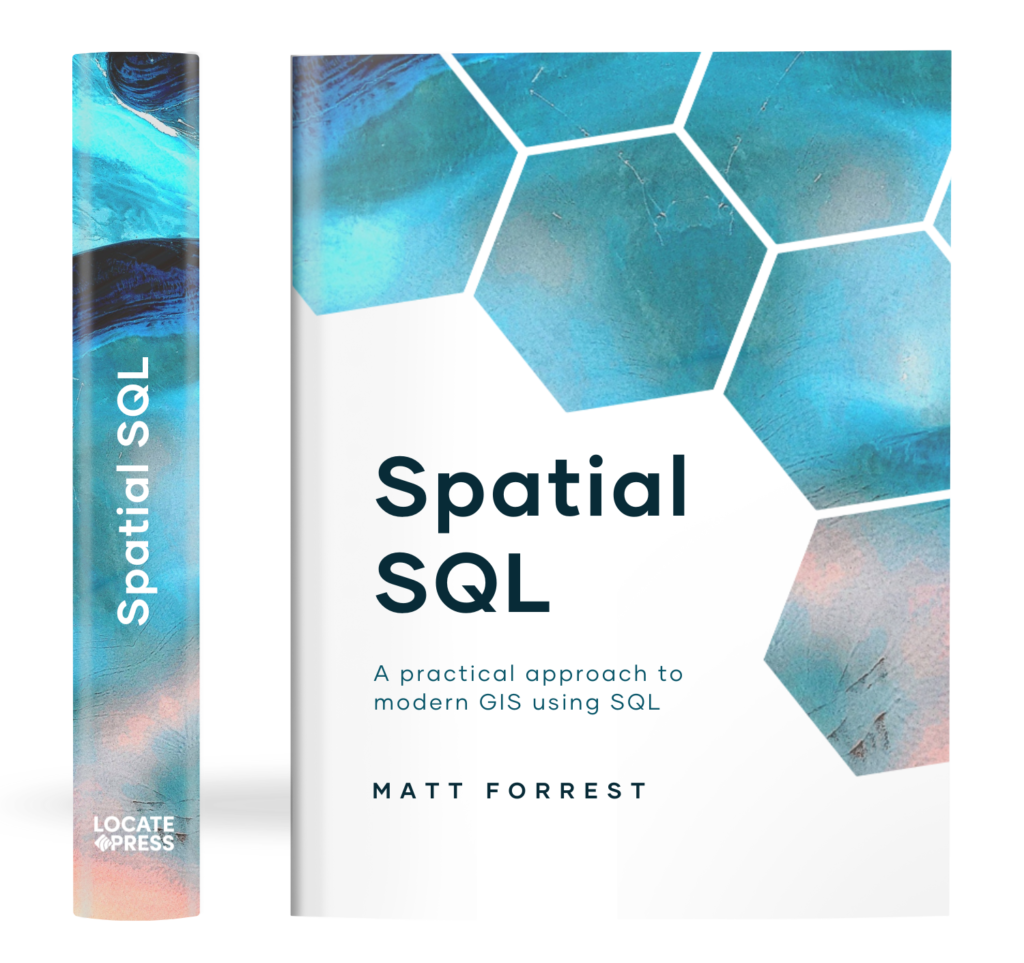
The Spatial SQL Book – Available now!

Check out my new book on Spatial SQL with 500+ pages to help you go from SQL novice to spatial SQL pro.

Buy now!

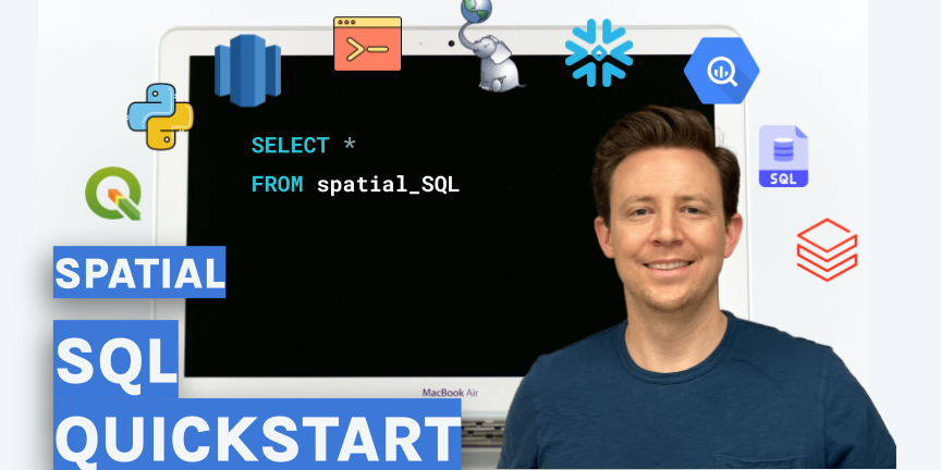
This video will take you through the different options for your spatial SQL setup and help you get started.

The database or data warehouse

Below are some of the options that I covered in the video to create your spatial SQL set up:

PostGIS on Docker

Set Up a PostGIS Database With Docker
Setting up a PostGIS database is easy! We will use Docker, a popular containerization platform to install and set up a PostGIS database, then connect to it using QGIS and ArcGIS Pro.
Error | Docker Hub

Postgres.app

Postgres.app – the easiest way to get started with PostgreSQL on the Mac
Postgres.app is a full featured PostgreSQL installation packaged as a standard Mac app.

Data Warehouses

Cloud Data Warehouse – Amazon Redshift – Amazon Web Services
Amazon Redshift uses SQL to analyze structured and semi-structured data across data warehouses, operational databases, and data lakes, using AWS-designed hardware and machine learning to deliver the best price performance at any scale.
BigQuery: Enterprise Data Warehouse | BigQuery: Cloud Data Warehouse | Google Cloud
BigQuery is a serverless, cost-effective and multicloud data warehouse designed to help you turn big data into valuable business insights. Start free.
The Data Cloud | Snowflake
Discover how the Snowflake Data Cloud can unite data and smash silos to solve your biggest challenges.
Data Lakehouse Architecture and AI Company – Databricks
Databricks combines data warehouses & data lakes into a lakehouse architecture. Collaborate on all of your data, analytics & AI workloads using one platform.

The access method

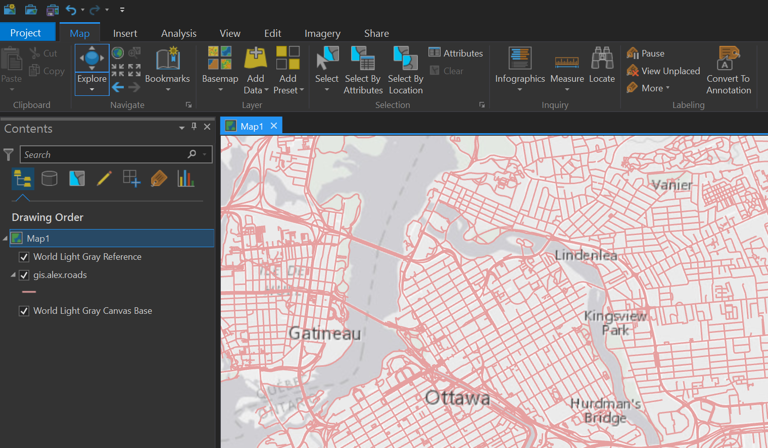
Next you need some method to query your database or data warehouse. All of the data warehouses listed above have some tools to query your data in a UI. My recommended method is actually setting up PostGIS with QGIS as it allows you to import, query, and visualize your data all in a desktop environment. Check out the tutorial here:

Another quick way to do this is with Geopandas and PostGIS:

I would also check out DBeaver if you want a totally open source query interface with some light mapping capabilities too!

DBeaver Community | Free Universal Database Tool
Free multi-platform database tool for developers, database administrators, analysts and all people who need to work with databases. Supports all popular databases: MySQL, PostgreSQL, SQLite, Oracle, DB2, SQL Server, Sybase, MS Access, Teradata, Firebird, Apache Hive, Phoenix, Presto, etc.

The visualization layer

The last step is of course a layer to visualize your data on a map. The options above all have some different methods to do this but CARTO provides a great toolkit to query and visualize your data too. You can sign up for a trial and if you are a student you get free access.

FAQs | CARTO Documentation
CARTO for Education How can I get a Student account in CARTO?
How can I get an Educator acccount?
We need Enterprise capabilities for our institution or academic research, can you help?
What is the process for getting a CARTO Student account?
I am an educator and my course materials use the previous…

And here are some Python libraries to take a look at as well:

leafmap
Gallery — pydeck 0.6.1 documentation
Jupyter Notebook – kepler.gl
kepler.gl for Jupyter User Guide
Folium — Folium 0.12.1 documentation

  • Cloud GIS
  • Spatial SQL
Matt Forrest

Post navigation

Previous
Next

Search

Categories

  • Article (23)
  • Tutorial (5)

Recent posts

  • Scaling GIS Workflows with COGs, Airflow, and Apache Iceberg
  • Spatial Joins: A comprehensive guide
  • The Top Geospatial Python Packages: What’s Driving Their Growth?

Tags

aggregations Apache Airflow Apache Iceberg Apache Sedona bigquery Cloud GIS Cloud Optimized GeoTIFF duckdb geoparquet geospatial gis Modern GIS postgis Python snowflake Spatial SQL sql zip codes

Related posts

Article

Scaling GIS Workflows with COGs, Airflow, and Apache Iceberg

April 25, 2025 Matt Forrest No comments yet

TOP OF THE STACK What we need to do with COGs COGs (Cloud-Optimized GeoTIFFs) are one of the most promising tools we have for making raster data truly cloud-native. They let you stream just the pieces you need, work remotely, and plug into modern geospatial systems without downloading giant files. But after working closely with […]

Article

From Desktop GIS to Cloud: A Beginner’s Roadmap to Modern GIS Tool

March 7, 2025 Matt Forrest Comments Off on From Desktop GIS to Cloud: A Beginner’s Roadmap to Modern GIS Tool

Modern GIS is changing fast. If you’ve been working with QGIS, ArcGIS, or any other desktop GIS tool, you’ve probably hit some limitations—datasets getting too big, processing times slowing down, and collaboration becoming a challenge. The good news? The cloud offers a way forward. But how do you make that transition? How do you go […]

Article

The Top 11 Open GeoParquet Datasets: Making big geospatial data easy

January 18, 2024 Matt Forrest Comments Off on The Top 11 Open GeoParquet Datasets: Making big geospatial data easy

In the dynamic field of geospatial technology, the evolution of data formats plays a pivotal role in shaping how we interact with and interpret spatial information. The advent of GeoParquet has marked a significant milestone, offering a more efficient and accessible way to handle large spatial datasets. This blog post delves into a comprehensive exploration […]

Spatial Lab
  • Join the Spatial Lab community
Courses
  • Learn Modern GIS with courses and certifications
Spatial SQL
  • Get the Spatial SQL book today
Join Us

© Matt Forrest 2024. All Rights Reserved.