
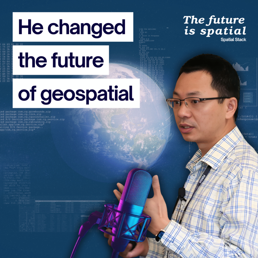
From Leafmap to GeoAI: How Dr. Qiusheng Wu Is Transforming Open Source GIS and Geospatial Education
When most people think of relaxing, they picture a walk, a movie, or a quiet evening. For Dr. Qiusheng Wu, relaxation means writing code. As he puts it, “When I have free time, when I’m relaxing, I’m coding.
If you’ve ever used Leafmap, explored GeoAI, or watched one of his tutorials on YouTube, you already know his impact on modern GIS and spatial data. Dr. Wu has become one of the leading voices in open source geospatial, blending teaching, coding, and community into a movement that’s redefining how people learn and work with spatial technology.
In our conversation, we talked about his new book on Python for geospatial analysis, the evolving balance between Python and SQL, the rise of embeddings and foundation models, and what the future of open geospatial education looks like.
A Complete Roadmap for Modern GIS
Dr. Wu’s new self-published book, Python for Geospatial Analysis, isn’t just a collection of tutorials. It’s the product of years teaching at the University of Tennessee and building tools that lower the barrier for people learning GIS.
He explained that the book “stemmed from the course I’ve been teaching since 2019.” Over time, that course evolved from a typical GIS programming class into a full open-source curriculum using Python and modern geospatial libraries.
“I wanted to make it possible for people without a programming background to start from zero and work their way to advanced analysis and visualization,” he said. The book includes everything from Python fundamentals to practical use cases with tools like GeoPandas, Rasterio, DuckDB, and Apache Sedona.
The goal isn’t just to teach syntax. It’s to help people understand how to think like a developer—how to break down a problem into smaller pieces and connect the right tools for the job.
Simplifying Geospatial Workflows
If there’s one theme that defines Dr. Wu’s work, it’s simplicity. Whether it’s Leafmap or GeoAI, his focus has always been to remove friction for learners and practitioners.
“Without a programming background, it can be intimidating to write a hundred lines of code just to visualize a raster,” he said. “Why not have one line that creates a map, adds a raster, and gets you started?”
That philosophy has shaped his tools. Leafmap, for instance, makes it easy to create interactive maps in Python with just a few lines of code. It’s used by everyone from NASA to Microsoft, and has become a go-to library for visualizing spatial data quickly.
But behind every line of code is a larger mission: making open-source geospatial tools more approachable so more people can build, publish, and share their work.
Choosing Between Python and SQL
One of the recurring questions in modern GIS is how to balance Python and SQL. Dr. Wu’s view is pragmatic: use both, strategically.
“Python is great for visualization and automation,” he said. “But for large-scale geospatial analytics, SQL is still the way to go.”
He recommends using Python for scripting, visualization, and smaller analyses, and SQL-based tools like DuckDB, PostgreSQL, or Sedona for heavy data processing and aggregation.
His rule of thumb:
- For data under 100 MB, GeoPandas is fine.
- Once you’re in the gigabyte range, DuckDB or Sedona becomes essential.
It’s a simple framework that reflects the broader shift in modern GIS—where the boundaries between databases and data science are blurring, and hybrid workflows are becoming the new norm.
The Promise and Limits of GeoAI
We also dove into one of the hottest topics in geospatial right now: embeddings and foundation models for Earth observation. Google’s AlphaEarth release sparked headlines like “ChatGPT for the Earth,” but Dr. Wu takes a measured view.
“These models are powerful for general applications like land cover or change detection,” he said. “But they still have limitations. The data is trained on specific time periods and resolutions. If you want near real-time or sub-meter analysis, you’ll still need custom models.”
His GeoAI package aims to make that possible. It simplifies training and applying machine learning models for geospatial imagery, removing much of the complexity from frameworks like PyTorch.
“My goal is not to create every model,” he said. “It’s to make it easier for people to build their own.”
He sees this era as the “GPT-2 phase” of geospatial AI—early, promising, and full of opportunity. The gap between large-scale foundation models and specialized local applications will shrink over time, and those who understand how to bridge the two will define the next generation of geospatial innovation.
Redefining Geospatial Education
Few people have done more to open up geospatial learning than Dr. Wu. Beyond the university classroom, his YouTube lectures reach thousands of students worldwide.
“You don’t really need a college degree to do this stuff,” he said. “If you have time and patience, anyone can learn.”
He sees education shifting in three key ways:
- From desktop to cloud-native – “We’re moving from downloading data to streaming it,” he explained. Cloud-optimized formats like GeoParquet and Cloud-Optimized GeoTIFFs are becoming the new default.
- From closed to open access – Students can now work directly with open datasets from NASA, AWS, or the European Space Agency.
- From classrooms to communities – YouTube, GitHub, and open collaboration have replaced traditional learning silos. “If you record a lecture and put it online, it can reach thousands instead of ten.”
It’s a powerful shift that mirrors the evolution of GIS itself—open, distributed, and collaborative.
What’s Next
Looking ahead, Dr. Wu is focused on expanding GeoAI and a new package called AnyMap, which aims to bring true 3D and browser-based mapping to Python without needing JavaScript.
He’s also considering another book—this time focused entirely on geospatial AI.
And of course, he’ll keep coding late into the night. “When I have free time, I’m coding,” he said again, smiling. “Coding for me is relaxing.”
Final Takeaway
Dr. Wu represents what’s best about the modern geospatial community: openness, creativity, and an unstoppable curiosity to make complex things simple.
His work reminds us that modern GIS isn’t about tools—it’s about thinking spatially, collaborating openly, and empowering others to build.
If you want to explore his work, you can find Dr. Wu on YouTube, LinkedIn, and GitHub, and grab his new book on Amazon.
Because as he put it, “Anyone can learn. If you have time and patience, you can make a living doing this.