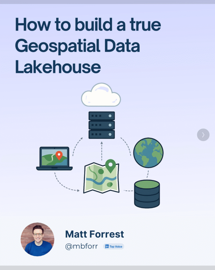
From Desktop GIS to Cloud: A Beginner’s Roadmap to Modern GIS Tool
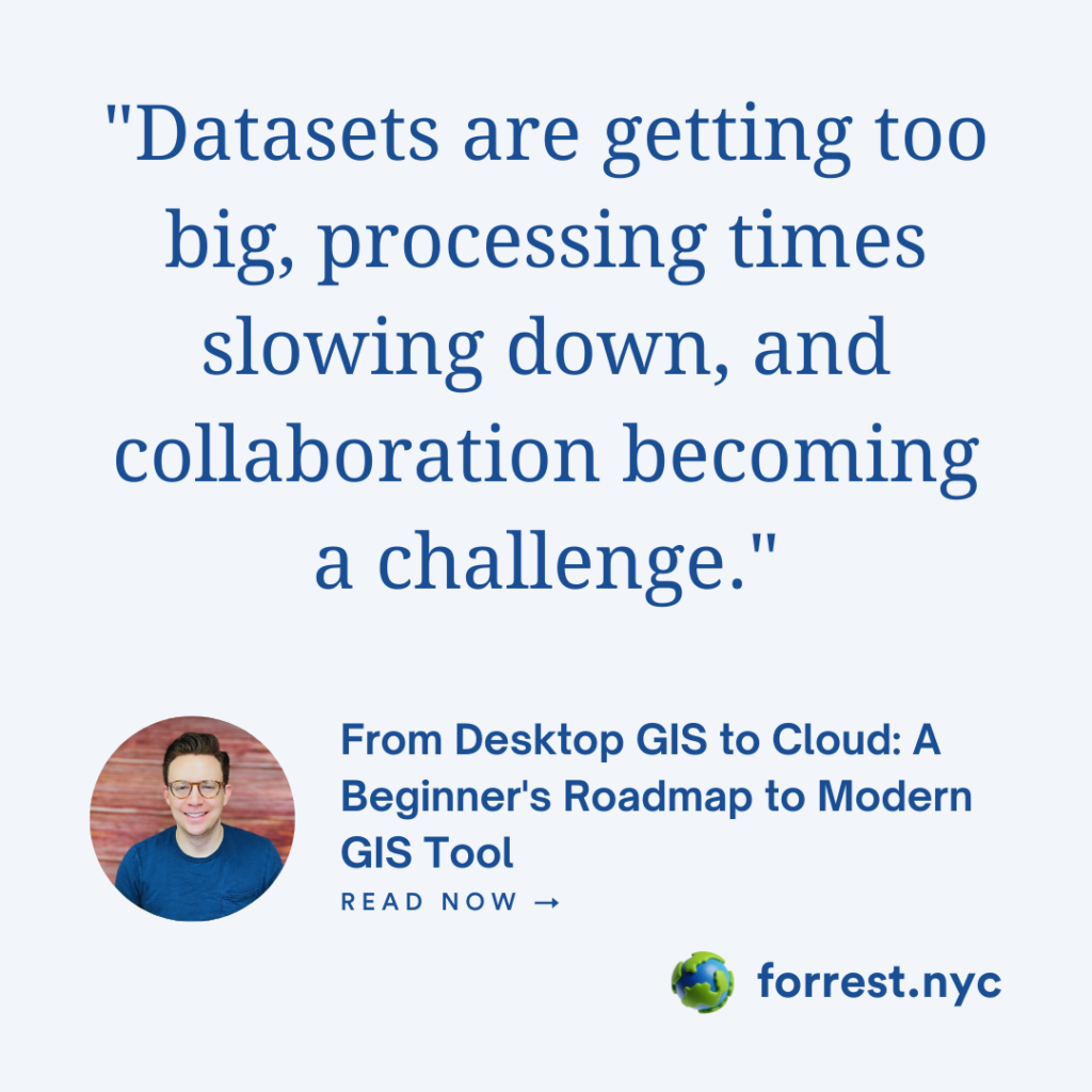
Modern GIS is changing fast. If you’ve been working with QGIS, ArcGIS, or any other desktop GIS tool, you’ve probably hit some limitations—datasets getting too big, processing times slowing down, and collaboration becoming a challenge. The good news? The cloud offers a way forward.
But how do you make that transition? How do you go from running analyses in QGIS to leveraging cloud-native GIS tools, scalable databases, and powerful geospatial processing engines? That’s exactly what this post is about.
This is not a “drop everything and move to the cloud” guide. Instead, it’s a practical roadmap for beginners—starting with what you already know (QGIS) and gradually introducing modern GIS tools like PostGIS, Spatial SQL, Apache Sedona, DuckDB, and cloud-native formats.
Understanding Traditional GIS Tools
QGIS is one of the best open-source desktop GIS tools out there. It’s flexible, powerful, and integrates with tons of geospatial libraries. Many GIS professionals start their journey here, working with Shapefiles, GeoTIFFs, and CSVs to create maps, analyze spatial data, and perform geoprocessing tasks.
But here’s where traditional GIS struggles:
- Scalability issues – Large datasets slow things down or crash your machine.
- Limited collaboration – Sharing a project means exporting files or setting up a complex GIS server.
- Storage constraints – Raster and vector files grow quickly, making local storage inefficient.
Scalability Issues
- QGIS runs on a single machine, limiting performance based on local CPU, RAM, and disk speed.
- Large datasets like satellite imagery and LiDAR can cause crashes or slow processing.
- Parallel processing and distributed computing are not supported, making scalability difficult.
Limited Collaboration
- GIS projects are often stored in local files (.qgz, .qgs), making collaboration cumbersome.
- Sharing requires manual exports, leading to versioning issues and duplicated data.
- Real-time collaboration requires complex GIS servers with additional IT support.
Storage Constraints
- High-resolution raster and vector data consume large storage and slow down processing.
- Managing and backing up files is manual and prone to errors.
Modern GIS tools solve these issues by leveraging the cloud, using scalable data storage, and processing spatial queries in high-performance databases.
Why Move to Modern GIS?
Big Data Is Getting Bigger
The volume of geospatial data is expanding at an unprecedented rate. High-resolution satellite imagery, drone-based data collection, LiDAR scans, and real-time IoT sensor feeds generate vast amounts of spatial information. These datasets often reach terabytes or even petabytes in size, far exceeding the capabilities of traditional desktop GIS tools. Processing such large datasets on local machines is impractical, leading to slow performance, crashes, and storage limitations. Modern GIS solutions leverage cloud computing, distributed storage, and parallel processing to efficiently manage and analyze large-scale spatial data.
Cloud-Native Formats Improve Efficiency
Traditional GIS formats like Shapefiles and TIFFs require downloading large files before use, slowing down workflows and consuming unnecessary storage. Cloud-native formats like GeoParquet and Cloud-Optimized GeoTIFF (COG) solve these issues by allowing on-the-fly access to spatial data stored in cloud environments. These formats are designed for efficiency:
- GeoParquet enables fast querying of vector data, making large-scale analysis seamless.
- COG allows direct access to specific raster tiles without downloading entire datasets.
- Zarr and STAC (SpatioTemporal Asset Catalogs) further improve access to massive Earth observation datasets, supporting real-time analysis and machine learning applications.
By adopting cloud-native formats, GIS professionals can reduce data transfer time, enhance collaboration, and work with massive datasets efficiently.
SQL and Python Unlock New Possibilities
Modern GIS is shifting from manual, GUI-based processes to automated, code-driven workflows. This transition allows users to work with spatial data at scale, ensuring repeatability and efficiency. Two key technologies lead this shift:
- Spatial SQL (PostGIS, BigQuery GIS, Snowflake) enables complex geospatial queries within relational databases, allowing users to perform spatial joins, aggregations, and analytics on massive datasets without bringing them into desktop software.
- Python (Geopandas, Rasterio, Apache Sedona) allows users to automate data processing, integrate GIS with machine learning, and build scalable geospatial applications.
Using SQL and Python, GIS professionals can process spatial data faster, automate routine workflows, and apply advanced analytics, AI, and machine learning techniques to geospatial problems.
Interoperability Matters
Traditional GIS workflows often involve multiple file conversions, exporting data for different tools, and dealing with compatibility issues. This fragmented approach leads to inefficiencies and data integrity concerns. Modern GIS prioritizes interoperability, ensuring seamless integration across platforms, databases, and programming environments. Key advantages include:
- Direct database connections (e.g., PostGIS in QGIS, Snowflake integration with Python) eliminate redundant file exports.
- Web-based GIS platforms allow real-time collaboration and access to shared datasets.
- APIs and serverless computing enable cloud-based GIS applications that scale dynamically based on demand.
By adopting open, cloud-friendly GIS solutions, professionals can streamline their workflows, improve collaboration, and build scalable geospatial applications without being locked into a single ecosystem.
Spatial Data Formats
Modern GIS favors open, cloud-optimized, and columnar formats over outdated Shapefiles:
- GeoParquet – A columnar vector format enabling fast queries and seamless cloud integration.
- Cloud-Optimized GeoTIFF (COG) – Allows direct cloud access to raster data, reducing download time.
- Zarr – A scalable format for multi-dimensional geospatial data, ideal for climate and remote sensing analysis.
- STAC (SpatioTemporal Asset Catalogs) – A metadata standard improving cloud data discoverability.
These formats improve efficiency, enabling faster, scalable, and real-time geospatial workflows.
Spatial Databases & SQL
Shifting from files to spatial databases enhances performance and analytical capabilities:
- PostGIS – The leading open-source spatial database, supporting indexing and spatial joins.
- DuckDB – Lightweight, in-memory analytics with native GeoParquet support.
- Wherobots– Cloud-based spatial data processing for large-scale raster and vector workloads.
- Apache Sedona – Adds geospatial processing to big data frameworks like Spark and Hadoop.
- ClickHouse & Trino – High-speed, distributed query engines with geospatial support.
These tools enable efficient, large-scale spatial processing beyond the limits of traditional GIS files.
3.3 Python for Geospatial Processing
Python is the primary language for GIS automation and data science:
- Geopandas – Brings spatial operations to Pandas.
- Rasterio – Reads and processes raster datasets efficiently.
- Fiona & Shapely – Handle vector data and geometry operations.
- PySAL – Advanced spatial statistics and geospatial machine learning.
- Apache Sedona (Python API) – Enables large-scale distributed spatial computing.
Python simplifies data automation, machine learning integration, and cloud-based GIS workflows, making it a critical tool for modern geospatial professionals.
Step 1: Master QGIS as Your Foundation
Before diving into databases and cloud services, get comfortable with the fundamentals in QGIS. Understanding core GIS concepts within a familiar desktop environment will make the transition to cloud-based workflows much smoother.
- Connect QGIS to a PostGIS database (instead of working with files). This allows you to interact with spatial databases and understand how data is stored, queried, and manipulated.
- Use DB Manager to run simple SQL queries, such as selecting features, filtering attributes, and performing spatial operations.
- Experiment with spatial joins, intersections, and buffers in both the GUI and SQL to build an understanding of how spatial relationships work.
- Learn how to visualize and style spatial data effectively, using categorized, graduated, and rule-based symbology.
- Explore QGIS plugins that integrate with cloud platforms and databases to expand capabilities beyond local processing.
Step 2: Learn Spatial SQL for Scalable Data Processing
SQL is the language of modern GIS, enabling scalable data processing. Instead of handling large datasets in memory, SQL allows you to query and analyze spatial data efficiently within databases.
Start with:
- PostGIS – A PostgreSQL extension that provides powerful geospatial capabilities, such as spatial indexing, distance calculations, and geoprocessing functions.
- DuckDB – A lightweight, in-memory database that natively supports GeoParquet and allows efficient spatial querying without a full database setup.
- Wherobots – A cloud-native geospatial analytics platform that integrates with modern databases for large-scale processing.
SELECT name, ST_Area(geom)
FROM counties
WHERE ST_Intersects(geom, ST_GeomFromText('POLYGON(...)'));
Learn how to:
- Perform complex spatial joins efficiently.
- Optimize queries using spatial indexes.
- Aggregate and summarize geospatial data using SQL functions.
- Integrate SQL with QGIS for direct database visualization.
Step 3: Use Python for Automation & Data Engineering
Python allows for automating tasks that would otherwise require manual processing in QGIS, making it an essential skill for modern GIS workflows.
- Pull geospatial data from APIs and cloud storage, such as OpenStreetMap, Google Earth Engine, or government open data portals.
- Convert traditional GIS formats, such as Shapefiles to GeoParquet, for better performance and storage efficiency.
- Use Rasterio to clip, mask, resample, and reproject raster datasets at scale.
- Leverage Geopandas and Shapely to clean, transform, and analyze vector data.
- Build automated geospatial pipelines using Python scripts or Jupyter Notebooks.
import geopandas as gpd
gdf = gpd.read_file("data.shp")
gdf.to_parquet("data.parquet")Step 4: Move Your Data to the Cloud
Modern GIS workflows benefit from cloud storage, enabling real-time access, scalability, and cost-efficiency.
- Store vector and raster data in S3 (AWS), Google Cloud Storage, or Azure Blob Storage to avoid local disk limitations.
- Query Cloud-Optimized GeoTIFFs (COG) without downloading entire files, improving speed and efficiency.
- Use serverless computing to automate data processing tasks without managing infrastructure.
- Leverage geospatial cloud databases to store and manage datasets in a scalable way.
import rasterio
with rasterio.open("
data = dataset.read(1) # Read the first bandStep 5: Scale Up with Cloud-Based GIS Analysis
When working with large-scale geospatial data, cloud platforms provide scalable, distributed processing solutions.
- Apache Sedona + Spark – Enables distributed processing of massive geospatial datasets using Apache Spark, ideal for handling terabytes of data.
- Wherobots – A cloud-native geospatial data processing platform optimized for fast, large-scale spatial queries and analysis.
- Serverless GIS workflows – Utilize cloud functions to execute geospatial operations dynamically, reducing infrastructure costs.
- Machine learning integration – Apply AI and ML techniques to spatial data using Python and cloud-based GIS platforms.
By following this roadmap, GIS professionals can transition from traditional desktop workflows to modern, scalable GIS solutions, ensuring efficiency, collaboration, and access to cutting-edge geospatial technologies.
Challenges & Tips for the Transition
Moving from traditional GIS to modern, cloud-native workflows is an exciting but sometimes overwhelming process. You’re not just learning new tools—you’re shifting the way you think about spatial data. Here’s what to watch out for and how to navigate the transition smoothly.
Common Challenges
- SQL Learning Curve – If you’ve been working with GUI-based tools, writing SQL queries can feel foreign at first. Start simple: select queries, filtering, and basic spatial functions before moving into advanced joins and indexing.
- Cloud Storage Costs – While cloud solutions are powerful, they aren’t free. Storing large datasets or running inefficient queries can rack up costs. Learn the basics of cloud pricing, optimize queries to reduce compute time, and use cost-monitoring tools.
- Tool Overload – The modern GIS ecosystem is massive. PostGIS, BigQuery, DuckDB, Apache Sedona, Snowflake, S3, COGs, GeoParquet—the list goes on. Instead of trying to learn everything at once, pick a few core tools (SQL, Python, and a cloud database) and build from there.
Practical Tips
- Practice on real-world datasets – Theory is great, but hands-on experience is better. Use OpenStreetMap extracts, government open data portals, or climate datasets to test what you’re learning.
- Use QGIS as a GUI for databases – You don’t have to leave QGIS behind. Connect it to PostGIS or DuckDB and use it as a front-end for visualizing and debugging spatial queries.
- Join a community – Learning modern GIS is much easier when you have support. Join Slack groups, Discord servers, or LinkedIn communities where others are making the same transition.
- Build small projects – Don’t wait until you’re an expert. Start by replicating something you’ve done in QGIS using SQL or Python, then push yourself to scale it up with cloud-based tools.
GIS is evolving fast, and staying ahead means adapting. With a structured approach and some patience, you’ll be working with modern, scalable geospatial workflows in no time.
The future of GIS is cloud-native, code-driven, and scalable. Moving from QGIS to the cloud isn’t about abandoning what you know—it’s about building on it with modern tools that handle big data, automation, and collaboration.
If you’re just starting, focus on SQL and Python while gradually incorporating cloud storage and scalable processing into your workflow.