
The Future of Geospatial Is Bigger Than Geospatial
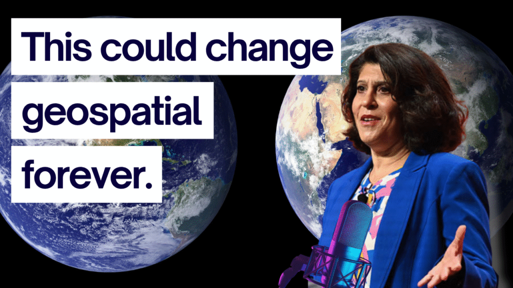
Every so often, an insight lands that shakes the foundation of how an entire field sees itself. During my conversation with Nadine Alameh, one line did exactly that:
“Stop introducing yourself as a geospatial person.”
Not because geospatial isn’t important. But because we’ve unintentionally built walls around a discipline that powers almost everything people do today. Maps, logistics, sustainability, climate analysis, AI, mobility, city planning, and the entire digital economy rely on spatial data. Yet we still talk like we’re a niche.
This article explores what happens when we stop thinking of geospatial as a closed ecosystem and start treating it as a foundation for something much bigger.
We Built an Echo Chamber Without Realizing It
Geospatial grew out of a small, specialized community solving incredibly complex technical problems. That specialization built strength, but it also built walls.
Inside the “geo” community, we tend to talk about the same topics with the same language: formats, standards, coordinate systems, projections, OGC specs, servers, tiles, ETL workflows. For people outside our bubble, these conversations are intimidating or irrelevant.
And as Nadine pointed out, we sometimes treat geospatial like it must remain special or separate. The problem is that this mindset limits our reach and impact.
At a recent industry event, the most transformative talk wasn’t from a geospatial company at all. It was from someone the room had never heard of. And that’s the point.
“They’re not eating your pie. They’re making the pie way bigger.”
Innovation is happening at the edges. Geospatial isn’t being replaced. It’s being integrated.
The Myth of the Geospatial Platform
One of the biggest traps we’ve created for ourselves is the belief that a “geospatial platform” needs to do everything:
- ETL
- storage
- visualization
- querying
- analysis
- serving
- styling
- pipelines
- AI
- web apps
The reality is simpler.
The strongest ecosystems are modular.
The modern data world figured this out early: Snowflake doesn’t try to be a dashboarding tool. dbt doesn’t try to be a database. Fivetran doesn’t do AI.
They each solve one thing incredibly well and integrate cleanly.
Geospatial is starting to follow the same pattern. As Nadine puts it, we need more Lego blocks, not more monoliths. But there’s a catch.
If we’re going to build modular tools, we have to make them usable. We need clearer standards, simpler integration, better documentation, and more examples of how pieces fit together. Customers are overwhelmed. They want outcomes, not architecture diagrams.
This is where the next generation of geospatial leaders can make a huge impact.
Why Opening Data Doesn’t Shrink the Field—it Expands It
One of the most powerful ideas from the conversation came from a simple example: Overture Maps.
Dozens of startups are already building new applications, products, and AI models on top of Overture because the data is open, cloud-native, and easy to use.
Open data didn’t destroy the mapping industry. It expanded it.
We’ve seen this pattern before:
- Spreadsheet software didn’t kill accounting.
- No-code tools didn’t kill software engineering.
- Cloud didn’t kill sysadmins.
When more people can access and use data, the demand for experts increases.
Because expertise shifts from “I can load a shapefile” to “I can turn geospatial insight into business impact.”
That is the future. Not gatekeeping. Not defending turf.
But enabling more people to work with the world.
Academia and Industry Are Solving the Same Problems—Separately
One of the most surprising gaps Nadine highlighted is the divide between industry and academia.
Researchers attend academic conferences. Practitioners attend industry conferences. Both groups are working on the same problems, especially in AI, geospatial modeling, climate, and sustainability. Yet they rarely talk to each other.
This is a missed opportunity.
Imagine if:
- AI researchers routinely shared early insights with geospatial engineers.
- Climate scientists published more applied examples alongside papers.
- Students were trained to build prototypes, not just write theses.
- Industry teams opened problems for academic co-research.
Bridging the gap would accelerate everything we care about:
open science, interoperability, climate adaptation, resilience, transportation, sustainability, and public-sector innovation.
This is not a technical issue. It’s cultural.
And it’s solvable.
The Next Generation of Spatial Leaders Needs a Different Skill Set
Nadine’s vision for future leaders isn’t about being experts in projections, geocoding, or ETL. Those skills matter, but they’re not the differentiators.
Future leaders will stand out because they can:
- connect spatial thinking with real-world problems
- combine tools from inside and outside geospatial
- integrate emerging AI models with domain expertise
- understand customer needs deeply
- tailor solutions to specific contexts
- navigate ethics, policy, and responsible data use
- work across disciplines, not within one
This is the “dot connector” mindset.
Instead of asking, “How do I become a geospatial professional?”
The better question is:
“What problem do I care about, and how can spatial data help me solve it?”
That shift opens doors for people in sustainability, climate, real estate, mobility, finance, retail, agriculture, and beyond.
Practical Outcomes for GIS and Geospatial Professionals
If you want to stay relevant as the field expands beyond its traditional boundaries, here are tangible actions to take:
1. Learn how modern data tools integrate with spatial
Study how platforms like DuckDB, Snowflake, BigQuery, or Spark handle spatial data.
This makes you instantly more valuable on cross-functional teams.
2. Share your work publicly
Write posts, publish demos, record walkthroughs, and show your process.
Visibility is a superpower in a field undergoing reinvention.
3. Specialize first, integrate second
Pick one thing you do extremely well—processing, visualization, modeling, ETL, analysis—and partner for the rest.
4. Follow innovation outside geospatial
GenAI, cloud-native formats, real-time systems, data engineering—all of these are shaping your future.
5. Think in terms of problems, not tools
Start with a question a city, business, or community cares about.
Use spatial data as the lever, not the starting point.
The Opportunity in Front of Us
The most important insight Nadine shared wasn’t technical. It was strategic.
“We have this opportunity in time. If we do something more deliberate, we can make the impact we’re dreaming of in five years, not ten.”
Momentum will move us forward whether we participate or not.
But deliberate collaboration is how we accelerate the future.
Geospatial is not shrinking.
It’s expanding into something bigger:
data intelligence, climate resilience, AI infrastructure, digital twins, simulation, real-time systems, and the platforms that power the next economy.
The question isn’t whether you belong in geospatial.
It’s what you choose to build with it.