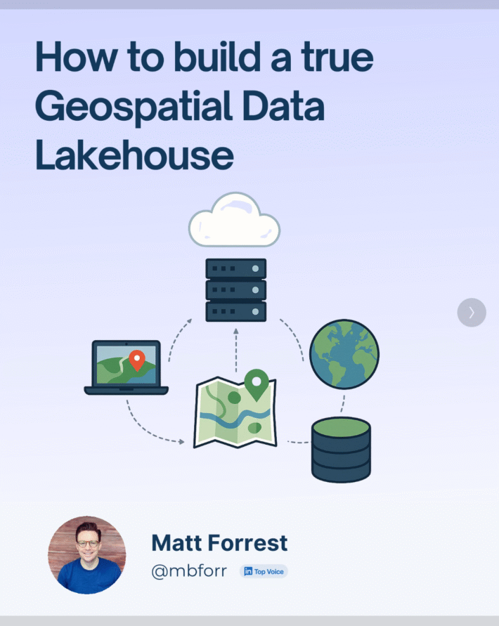
Breaking the GIS Silo: Why GeoParquet and Iceberg are the key to Spatial Analytics at Scale
For decades, GIS has lived in a world of its own.
Specialized software. Obscure formats. A profession that, despite being critical to everything from climate modeling to logistics, has remained siloed from the rest of the data world.
But that’s finally starting to change.
In the latest episode of the Spatial Stack podcast, I sat down with Javier de la Torre — founder of Carto, board member at OGC, and a driving force behind GeoParquet — to talk about where GIS came from, why it’s been so isolated, and how open standards and cloud-native formats are transforming everything we know about working with spatial data.
🎧 Listen to the full episode:
From Biodiversity to the Modern Data Stack
Javier’s journey into geospatial started in biodiversity informatics. Back then, spatial data was even harder to work with than it is now. But over time, he helped build one of the most well-known geospatial platforms in the world, CARTO, and watched as the entire industry evolved around cloud, open data, and modern analytics.
We talked about:
- Why GIS became a silo in the first place
- How that separation has cost professionals and organizations — in money, insight, and impact
- Why GeoParquet and modern file formats are about more than convenience — they’re about accessibility, scalability, and value
- What it means to make spatial data “just a join away” from the rest of your analytics
GeoParquet: A Tipping Point for the Industry
One of the most important moments in the episode was when Javi described the inclusion of geospatial as a native data type in the Parquet format, no longer just an extension or add-on.
That changes everything.
When your raster, vector, and even point cloud data can sit in the same warehouse as your business metrics, your models, and your operations, a whole new world of collaboration and insight becomes possible.
This isn’t just about technical standards. It’s about the future of how we work with place-based data in any industry.
Why This Matters for Your Career (Yes, Yours)
If you’re in GIS or any geospatial field, this episode should feel like both a wake-up call and an invitation.
Because here’s the truth: Professionals who learn how to work across the modern data stack will lead the next era of spatial analysis. Those who don’t may find themselves stuck — not because they lack skills, but because the tools they’ve always used aren’t built for what’s next.
🔗 Watch the Episode, Join the Movement
Whether you’re deep in geospatial or just spatially curious, this is a conversation worth tuning into. Javier brings clarity, experience, and a real vision for what comes next.
🎥 Watch on YouTube
🎧 Listen on Spotify or Apple Podcasts
💬 Have thoughts on the episode? Join the discussion in the Spatial Lab