
Esri vs Open Source GIS: The Real Debate Behind the Tools
It started the way most online debates do: with a LinkedIn post and a strong opinion.
I’d shared a graphic about modern GIS tools, highlighting open-source workflows and cloud-based options I believe help push the industry forward. Kyle Satterfield, GISP, had a different take. He took my graphic, dropped it into ChatGPT, and asked it to write the opposite argument. Then he posted that.
That post got a lot of attention… and a lot of reactions. Some agreed, some pushed back harder than either of us expected. And that’s when we both realized maybe it was time to actually talk.
So, we did.
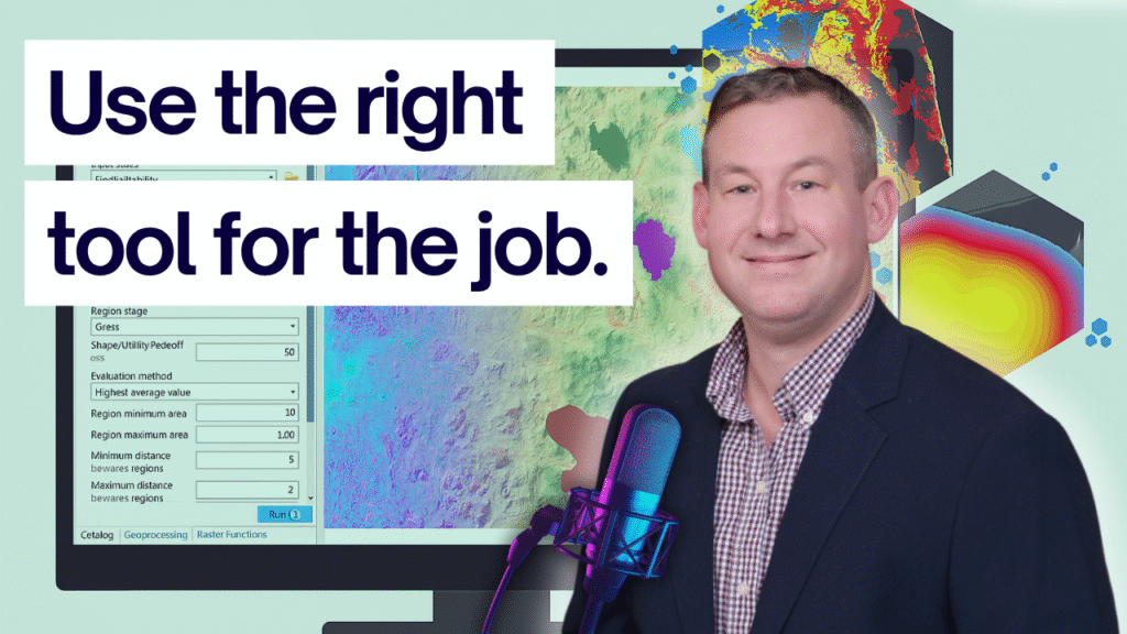
On this episode of The Spatial Stack, Kyle and I sit down for a real conversation about what’s behind the “Esri vs Open Source” debate. We talk about how IT departments and GIS teams often seem at odds, how the buy-vs-build tension plays out in the real world, and why so much of this comes down to scale, context, and organizational needs.
Kyle shares stories from his experience building GIS programs at the county level — navigating between administrators, IT directors, and stakeholders who all want different things. I bring in perspectives from the cloud and analytics side, where large-scale data and open tooling often make the most sense.
And somewhere in the middle, we realize… we’re actually talking about the same thing: how to make GIS work better for the people who need it.
Because for me, these conversations aren’t just about tools or platforms — they’re about understanding the real-world trade-offs GIS professionals face every day. We don’t all work at the same scale, with the same resources, or the same goals. And when we stop arguing past each other and actually listen, we learn a lot about how to make our field stronger, together.
This isn’t about taking sides. It’s about moving beyond the comment thread and having the conversations the GIS community really needs — the ones that help us understand each other’s world a little better.