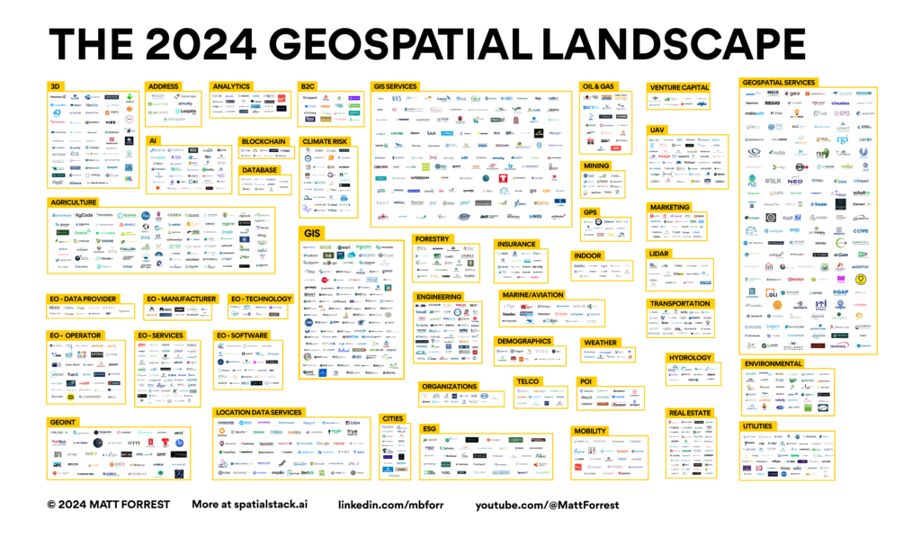
The geospatial industry is evolving faster than ever: from AI-powered analytics to cloud-native infrastructures reshaping how we work with spatial data. That’s why I am excited to announce that the 2025 Geospatial Landscape is on the horizon. The response to this piece last year was amazing and I am excited to start work on the […]
Apache Sedona Tutorial: Scalable Spatial Joins and Geospatial Processing with Spark
If you’ve ever tried to run a spatial join on millions of features and watched your machine cry for help, it’s time to level up with Apache Sedona. In this new video, I walk through a complete hands-on tutorial for using Sedona in Python via JupyterLab. We’ll load spatial data, perform scalable spatial operations, and […]
BigQuery vs. Wherobots: What a 23-Second Difference in Spatial SQL Really Reveals
The Real Story Behind Faster Spatial Queries I’ve been in geospatial long enough to know that performance metrics can be deceptive. When I recently ran a query to enrich drive-time isochrones with population data—something that’s geometry-heavy and computation-intensive—I got results from two powerful engines: Wherobots and BigQuery. Wherobots returned results in 57 seconds.BigQuery took 1 […]
What the Modern Data Stack can teach us about the future of geospatial
There are a few truths you can always count on in geospatial. Something is always changing. There’s always a new way to do something. Spatial is special. Spatial data needs to be democratized. Spatial data is in a silo. Spatial data is a second class citizen. I have heard so many of these over the […]
Why Cloud-Native Geospatial Data Is Making “Spatial” Just Data Again
Every once in a while, a conversation topic starts surfacing repeatedly, unprompted, from completely different directions. This week, for me, that topic was cloud-native geospatial data. Seven conversations in 24 hours. All roads leading to the same challenge: geospatial data is abundant but remains frustratingly difficult to use. What struck me wasn’t just the volume […]


