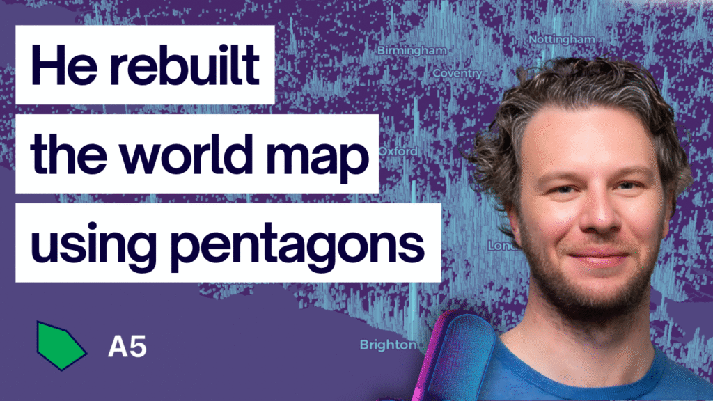
You’ve built the pipelines. Your data is in cloud-native formats. You have a lakehouse architecture that can govern petabytes of spatial data. Now what? Now you need to actually query that data and extract insights from it. And this is where the rubber meets the road for cloud-native geospatial systems. The query engine you choose […]
Stuck in Legacy GIS? A Practical Roadmap to Modern GIS and Cloud Native Geospatial
I get this question almost every day. “I feel stuck in legacy GIS, and I want to update my skills, but I don’t know where to start.” It does not matter if your goal is to keep up with the field, hit the next career milestone, or ship a project that feels out of reach. […]
Why Your GIS Career Feels Stuck (And How to Break Through)
Do you feel like your GIS career has stalled even though you are putting in the effort, learning new tools, and taking on more responsibility? You are not alone. Many early and mid-career GIS professionals reach a point where advancement feels slow, uncertain, or entirely out of reach. However, this is not a sign that […]
What Is QGIS? The Open-Source Platform Powering Modern GIS
Most GIS professionals start their journey in desktop software. And while much of the spotlight goes to proprietary tools like ArcGIS, there’s another platform that’s open source, incredibly powerful, and central to modern GIS. That tool is QGIS. It’s where many people create their first map, run their first spatial join, and begin bridging the […]
What Is PostGIS? The Open-Source Spatial Database Powering Modern GIS and AI
For a lot of GIS professionals, SQL and databases feel intimidating. They sound like something meant for backend developers or data engineers, not mapmakers. But here’s the truth, if you’ve ever done a spatial join, buffer, or intersection in ArcGIS or QGIS, you’ve already been writing SQL. You just didn’t see the code behind the […]


