Learn Geospatial Python with these top courses

Python is fast becoming one of the top languages for data analysis and data science, and for good reason. It is quick to learn, can be used for many use cases, and is fast becoming a key skill for job seekers.
Python for GIS and geospatial analysis is no different. It can help you scale and perform advanced analysis, and speed up your geospatial workflow. The following video highlights my favorite courses for learning Python for geospatial analysis, GIS, and spatial data science. The courses have everything for beginners who haven’t used Python up through advanced spatial models.
Take a look at the video and the links below to check out the courses!
Basic Python Skills
Before we jump into the specific links, here are two courses I really like for Python skills and practice.
Python for Data Science and Machine Learning Bootcamp
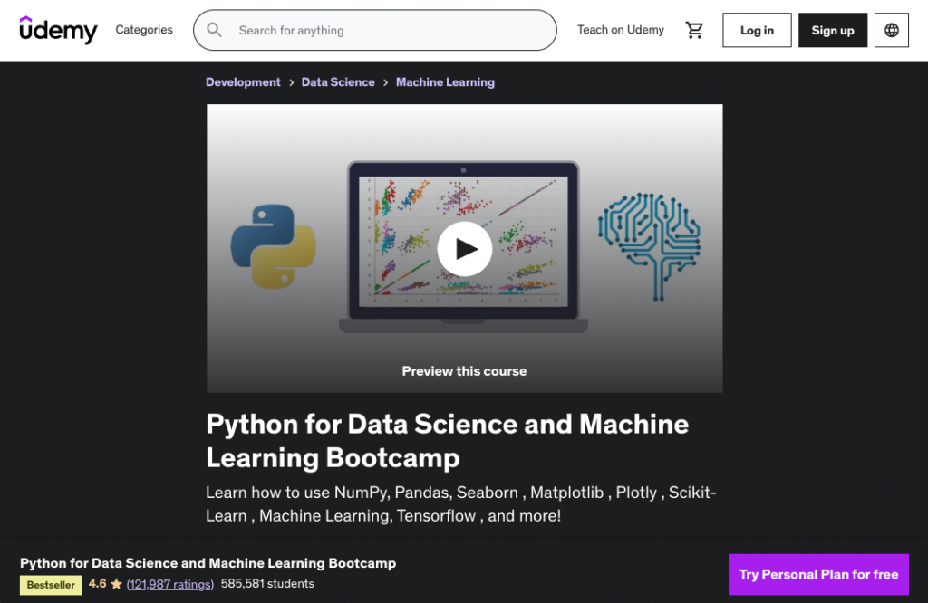
I used this course to quickly learn many of the basics of Python up to machine learning tools!
Stratascratch: Master coding for data science
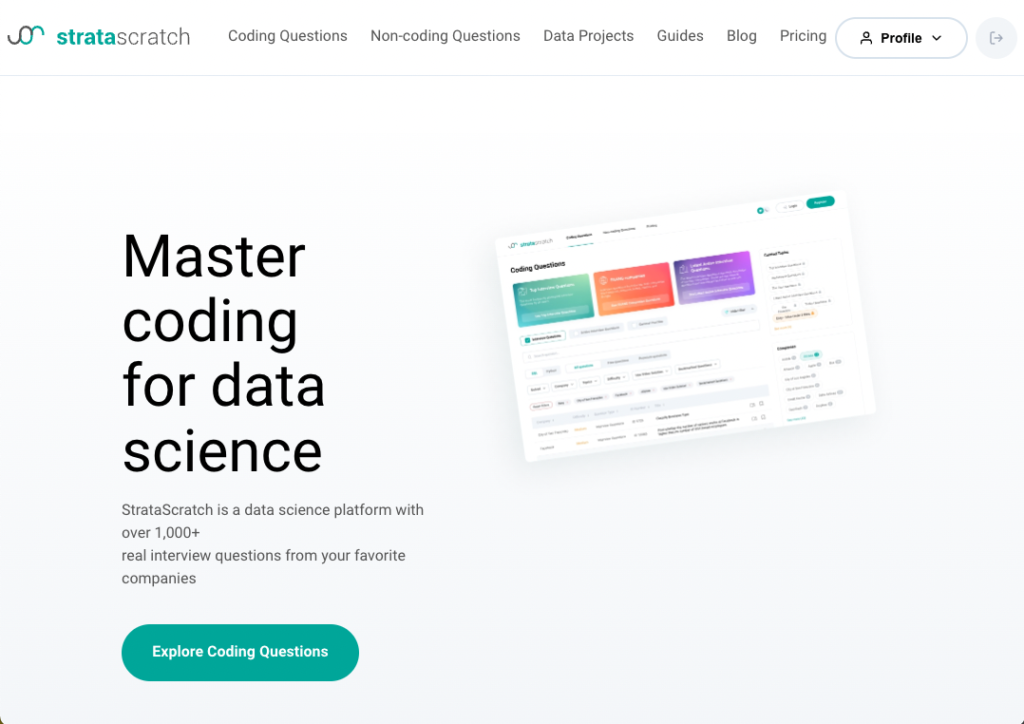
A great tool with practice exercises and problems in Python and SQL!
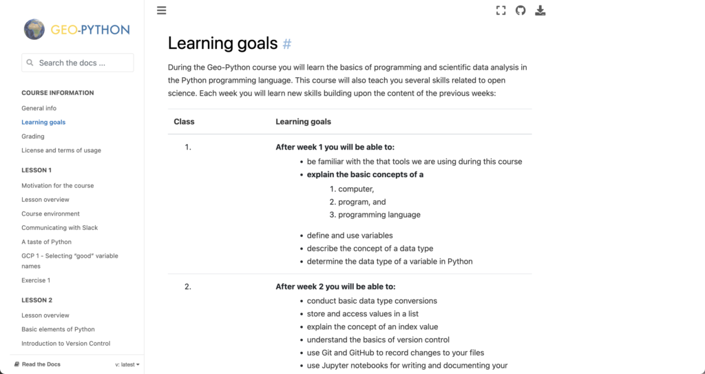
Geo-Python
Beginner
Jump to the review in the video
This course is a great beginner Python course that explains the core components of Python, especially if you are starting from scratch.
- Clear goals are defined on the main page
- Straight-forward path to Python basics
- Detailed descriptions and notebooks
Accessibility: 🐍🐍🐍🐍🐍
Geo-focus: 🐍🐍
Clarity: 🐍🐍🐍🐍🐍
Completeness: 🐍🐍🐍
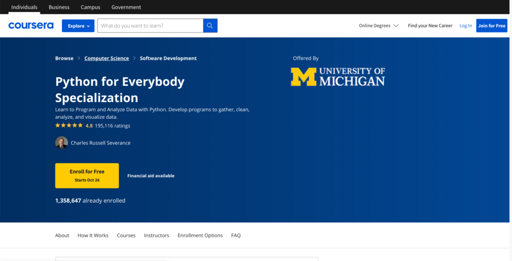
Python for Everybody
Beginner
Jump to the review in the video
From the University of Michigan, this course has foundational elements of Python for a wide range of skills. This isn’t a geospatial specific course, but helps to build core Python skills.
- Basic functional Python supported with videos
- Trusted sources from the University of Michigan and Coursera
- Really focused on basic data, web scraping, and other foundational skills
Accessibility: 🐍🐍🐍🐍
Geo-focus:
Clarity: 🐍🐍🐍🐍
Completeness: 🐍🐍🐍
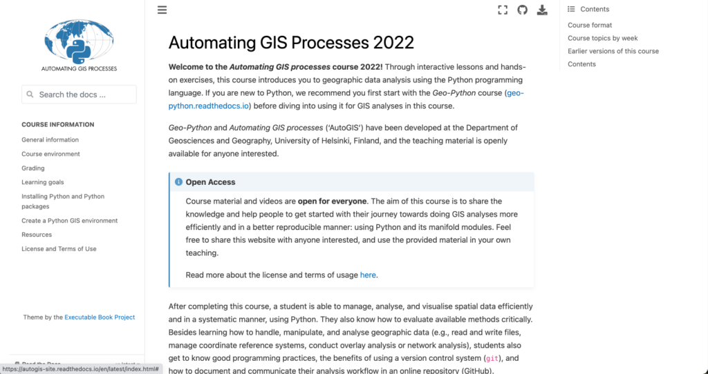
Automating GIS Processes
Beginner
Jump to the review in the video
The University of Helsinki has produced great geospatial courses for years, and Automating GIS Processes has some great introductions to core geospatial concepts.
- Super readable and good intro into geospatial Python
- Walk away with basic GIS concepts and raster analysis
- Really good and usable course
Accessibility: 🐍🐍🐍🐍🐍
Geo-focus: 🐍🐍🐍🐍🐍
Clarity: 🐍🐍🐍🐍
Completeness: 🐍🐍🐍
Geopandas Docs
Beginner to Intermediate
Jump to the review in the video
Understanding and using documentation is a key skill when using Python libraries and in addition to great documentation direct from the core developers of Geopandas, there are excellent notebooks and tutorials to get you started with one of the best geospatial libraries.
- Build skills in reading and using documentation
- Great examples and sample notebooks
- Perform common tasks such as reading/writing, visualizing, analyzing, connecting to data sources, and more
Accessibility: 🐍🐍🐍🐍🐍
Geo-focus: 🐍🐍🐍🐍🐍
Clarity: 🐍🐍🐍🐍
Completeness: 🐍🐍🐍🐍

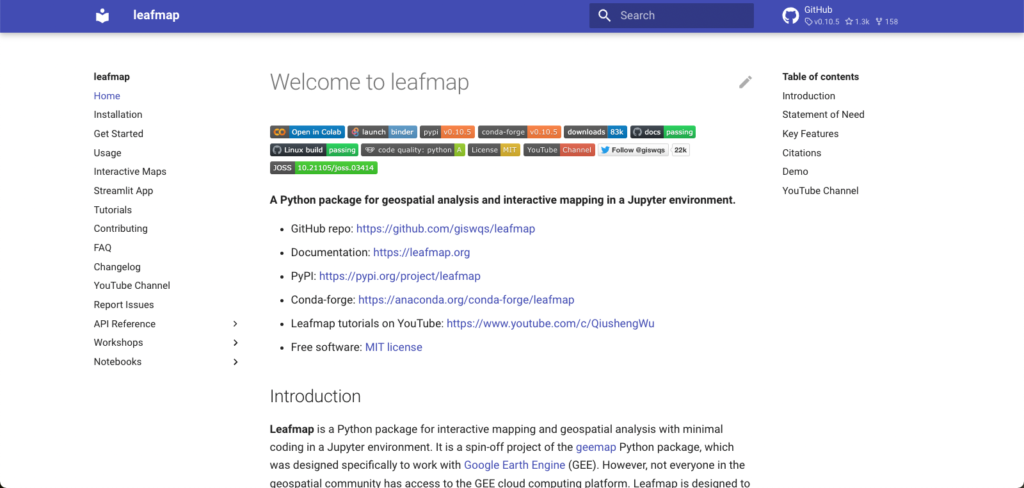
Leafmap
Beginner to Intermediate
Jump to the review in the video
Leafmap is fast becoming one of the most comprehensive geospatial toolkits in Python. This includes analysis in raster and vector, visualization, connectivity, publishing, and so much more. This great library is maintained by Professor Qiusheng Wu from the University of Tennessee and in addition to the tutorials, Professor Wu maintains a great library of YouTube tutorials as well.
- It is a complete Python geospatial toolkit: raster, vector, data, visualization, etc.
- Detailed notebooks along with complete guides on YouTube
- It is like using QGIS, but all in Python
Accessibility: 🐍🐍🐍🐍🐍
Geo-focus: 🐍🐍🐍🐍🐍
Clarity: 🐍🐍🐍🐍🐍
Completeness: 🐍🐍🐍🐍🐍
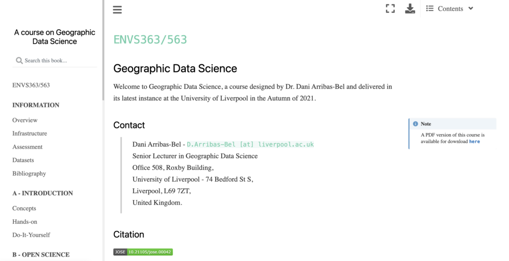
A Course on Geographic Data Science
Intermediate
Jump to the review in the video
Dani Arribas-Bel is one of the greatest sources of content and tools in spatial data science, and this course which has been taught and updated for several years provides the foundations for true spatial data science.
- Direct from the best source for spatial data science
- Clear and concise, with notebooks support by videos
- Best possible intro to spatial data science, but you will need some basic Python skills
Accessibility: 🐍🐍🐍🐍🐍
Geo-focus: 🐍🐍🐍🐍🐍
Clarity: 🐍🐍🐍🐍
Completeness: 🐍🐍🐍🐍
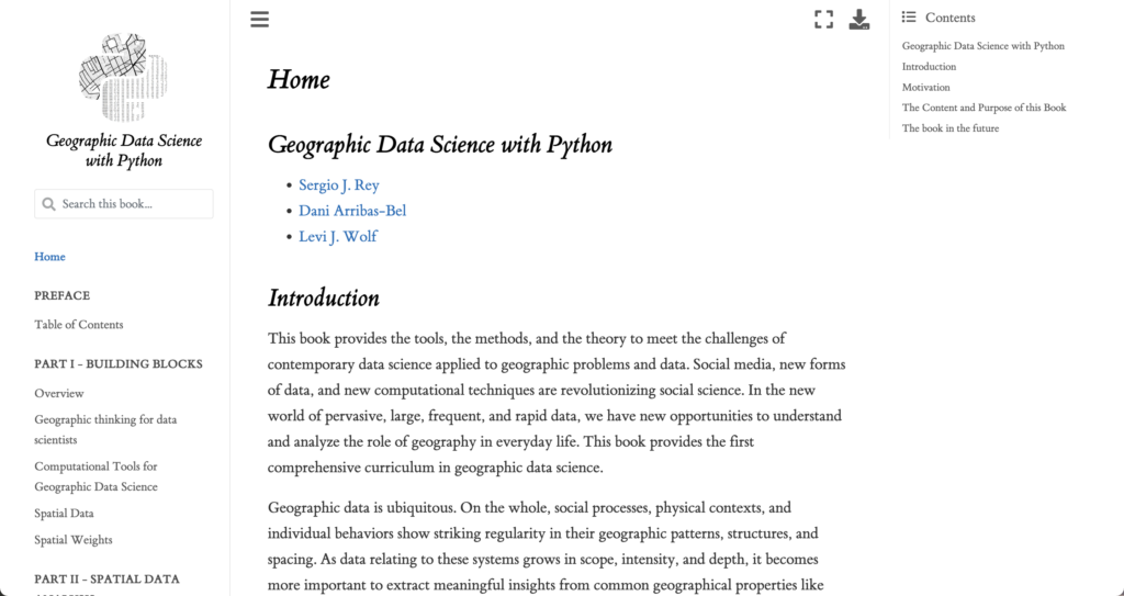
Geographic Data Science with Python
Advanced
Jump to the review in the video
This course/book is on the more advanced side of the courses here, but it has in-depth explanations of the spatial statistical models and will dive deep into the true tools and models for spatial data science.
- Provides the next level up for spatial data science
- More advanced topics like spatial regionalization or territories, feature engineering, and regression, and deeper dives into other topics
- Super detailed which allows you to also learn the methods behind the tools
Accessibility: 🐍🐍🐍🐍🐍
Geo-focus: 🐍🐍🐍🐍🐍
Clarity: 🐍🐍🐍🐍
Completeness: 🐍🐍🐍🐍🐍
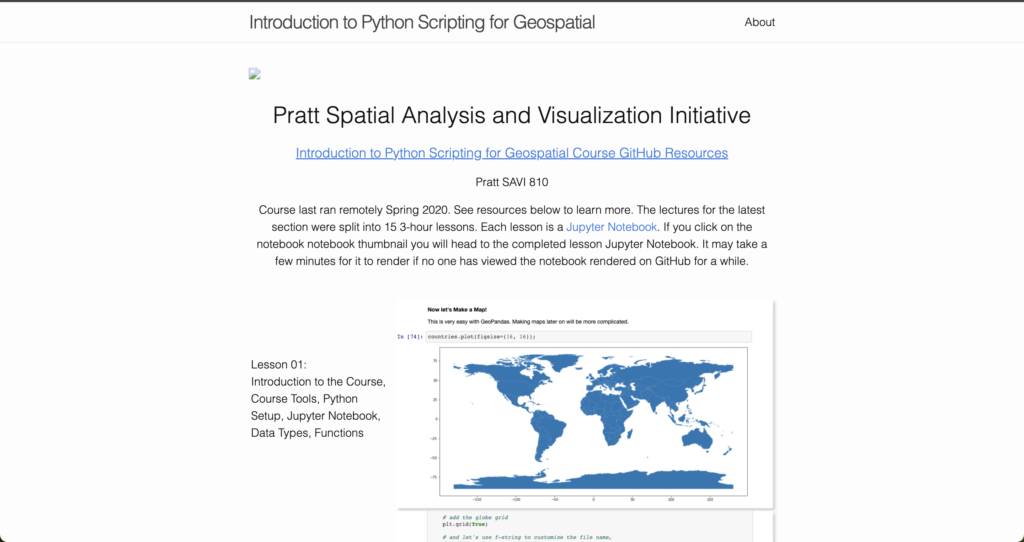
Introduction to Python Scripting for Geospatial Course GitHub Resources
Intermediate
Jump to the review in the video
Taught as a part of the Pratt SAVI program, this course from Daniel Sheehan is one of the best end-to-end courses on geospatial Python, starting with basics all the way up through advanced analysis.
- Probably the most complete end-to-end (starting from scratch and working up) tutorials
- Meant for a class so some of the descriptions are short and requires using GitHub
- Covers basics up through network analytics and far more
Accessibility: 🐍🐍🐍🐍🐍
Geo-focus: 🐍🐍🐍🐍🐍
Clarity: 🐍🐍🐍
Completeness: 🐍🐍🐍🐍🐍
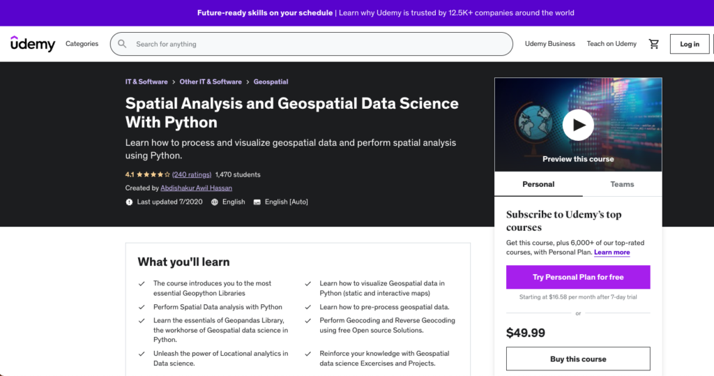
Spatial Data Science Udemy Courses
Beginner to Intermediate
Jump to the review in the video
Abdishakur Awil Hassan is one of the best writers (mainly writes on Medium) on the internet on the topic of spatial data science. He developed and teaches these two courses that dive into the fundamentals of geospatial Python and spatial data science.
- Complete walkthroughs for different skills and levels
- Works with app development using Streamlit and other topics like Shapely and fiona
- Quick courses supported with video, great if this is your prefered learning method
Accessibility: 🐍🐍🐍
Geo-focus: 🐍🐍🐍🐍🐍
Clarity: 🐍🐍🐍🐍
Completeness: 🐍🐍🐍🐍
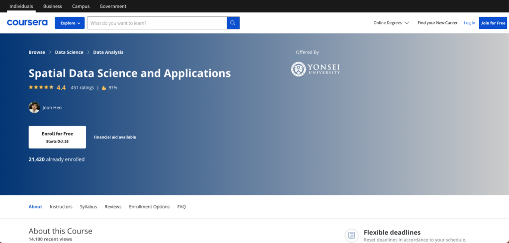
Spatial Data Science and Applications on Coursera
Intermediate
Jump to the review in the video
This is a great course that goes into Python, but also beyond it into big data systems, spatial SQL, and other applications along with use cases and more. If you are looking to blend your Pytho work with other tools, I definitely recommend this course.
- Complete walkthroughs supported with video and projects
- Integrates big data systems and Python
- Complete section on real-world problems
Accessibility: 🐍🐍🐍
Geo-focus: 🐍🐍🐍🐍🐍
Clarity: 🐍🐍🐍🐍🐍
Completeness: 🐍🐍🐍🐍